What is recorded here
No visible surface trace survives on the slightly flattened, nearly circular top of the Ballynagar hillock, yet its shape still suggests a rath. The place has lost its trees and any clear boundary, leaving only a smooth patch of pastureland where a fort may have stood. What remains is a ghost of a circle, visible only in the way the land gently resists the memory of being built upon.
On a hillock in pastureland. Marked on the 1838 edition of the OS 6-inch map as a subcircular enclosure within an enclosed mixed tree plantation. On the 1925 edition the enclosing element of the plantation is not shown. The top of the hillock is slightly flattend and nearly circular (diam. c. 35m), however, no visible surface trace of the monument survives. All the trees have been removed. The siting suggests that it was possibly a rath.
Compiled by: Galway Archaeological Survey, UCG
Date of upload: 14 February 2019
The monument record does not grant public access. Check the route and ask the landowner before entering private land.
- What survives
- Recorded monument
Places near here
 Country house in BallynagarCountry house · 505 yd
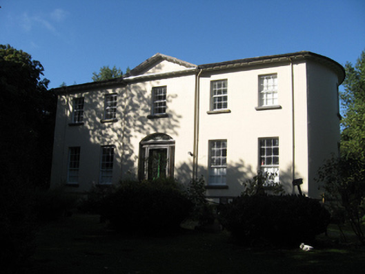 Ballynagar Housecountry house · 510 yd
 Ladys WellHoly well · 668 yd
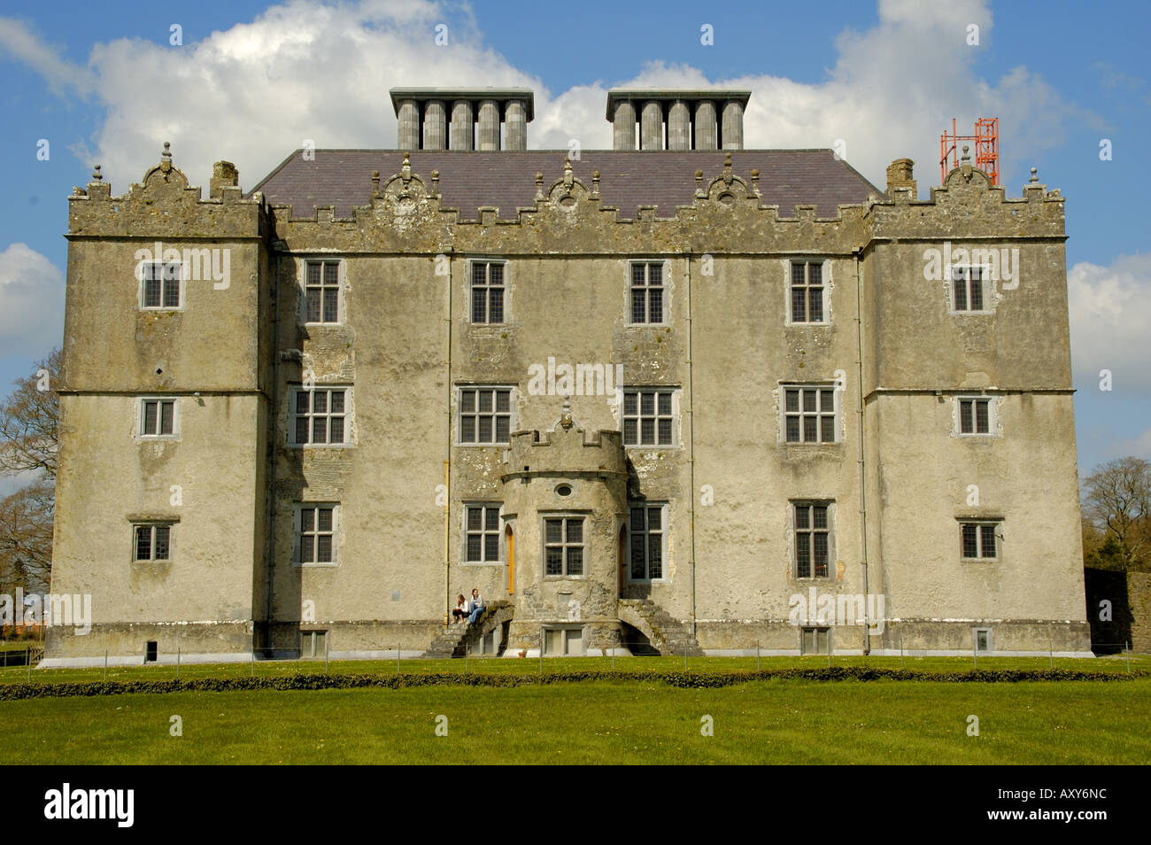 Enclosure in Cappaghcon EastEnclosure · 1193 yd
 Coolfin Castle (in ruins)Castle, tower house · 1.8 mi
 Site of CastleCastle, unclassified · 2.8 mi
 Oak WoodForest · 3.3 mi
 Bog WoodForest · 3.6 mi
 Friar's IslandIslet · 5.0 mi
 Abbey IslandIslet · 5.1 mi
 TullymoreMountain / peak · 5.2 mi
 Stonyisland BayBay · 5.3 mi