What is recorded here
Fairy fort in Ballynadrimna, County Meath: an earthen ringfort on a slight rise, mapped as a fort in 1836 and still measurable today, about thirty-five metres across with a grassy bank and no clear entrance. It is the kind of place people once called a fairy fort because it refused to explain itself like an ordinary field. Perhaps it marked a boundary, a shrine, a home, or a warning; the earth kept its shape while the names and memories thinned around it.
Situated on a slight rise in a fairly level landscape. It is depicted as a subcircular embanked enclosure (ext. dims c. 50m NE-SW; c. 40m NW-SE) described as a ‘Fort’ on the 1836 edition of the OS 6-inch map and as a curving field bank W-NE on the 1912 edition. This is a subcircular grass-covered area (dims c. 35.5m E-W; c. 31.5m N-S) sloping down to the SE (H 1.2m) defined by an earthen bank (Wth of base 4.5m; int. H 0.9m; ext. H 1.5m) with some trees N-NE reduced to a scarp W-N and cut by a NW-SE field bank at NE. There is no visible fosse or identifiable original entrance.
The above description is derived from the published 'Archaeological Inventory of County Meath' (Dublin: Stationery Office, 1987). In certain instances the entries have been revised and updated in the light of recent research.
Compiled by: Michael Moore
Date of revision: 5 July 2019
The monument record does not grant public access. Check the route and ask the landowner before entering private land.
- What survives
- Recorded monument
Places near here
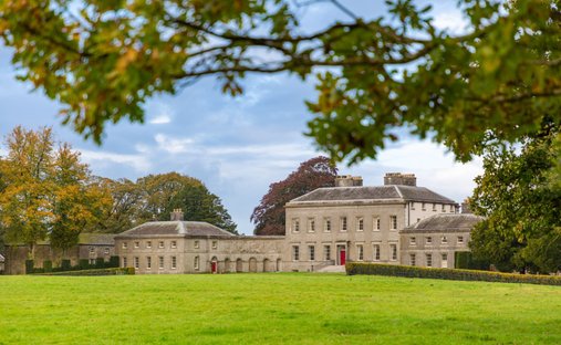 Ballynadrimna HouseRuins · 714 yd
 MoatCastle, motte and bailey · 1453 yd
 Concentric enclosure in Ballyboy (lune By., Athboy Par.)Concentric enclosure · 1.3 mi
 IndicatedFairy fort / earthen ringfort · 1.6 mi
 Carrantstown CastleCastle, unclassified · 1.6 mi
 Lisclogher Bridgebridge · 2.2 mi
 FraineMountain / peak · 2.5 mi
 ScregganWood · 2.9 mi
 Persian WalnutPersian Walnut · 4.9 mi
 Croppies' GraveMemorial · 9.2 mi
 The New Line RoadMemorial · 9.8 mi
 BohermeenMountain / peak · 9.9 mi