What is recorded here
Double banks and twin ditches still mark the fort, though pasture has softened their edges. A causewayed gap faces northwest, inviting entry into a space large enough for houses, herds and argument. Whether people lived there or feigned to exclude them, the earth was shaped to keep something out and something within.
In pasture, on S-facing slope. Circular area (51m E-W; 47.5m N-S) enclosed by two earthen banks SW->E separated by intervening fosse, with external fosse (D 1.25m). Inner bank (int. H 0.6m) very low internally on W side; outer bank (ext. H 1.15m) accentuated due to fosses on both sides. Intervening fosse (Wth 3.45m at base) survives all round but very shallow E->SW where banks levelled. Causewayed entrance (Wth c. 2.8m) to NW. Possible Man-made underground passage (CO007-05402-) in interior.
The above description is derived from the published 'Archaeological Inventory of County Cork. Volume 4: North Cork' (Dublin: Stationery Office, 2000). In certain instances the entries have been revised and updated in the light of recent research.
Date of upload/revision: 14 January 2009
The monument record does not grant public access. Check the route and ask the landowner before entering private land.
- What survives
- Recorded monument
Places near here
 ExcavationExcavation, miscellaneous · 218 yd
 Burial Ground (Private)Graveyard · 571 yd
 Eglis a Dridin (in Ruins)Church · 593 yd
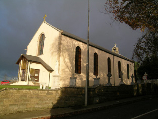 Saint Mary's Roman Catholic Churchchurch/chapel · 1275 yd
 CastleCastle, motte · 1474 yd
 Castle Harrison on Site of Castle (19*Castle, unclassified · 1.5 mi
 CarrigeenMountain / peak · 2.6 mi
 Ballyhoura WayWalking route · 2.7 mi
 Holy Cross CemeteryGraveyard · 2.7 mi
 BallinaboolaVisitor information · 3.0 mi
 Windmill HillMountain / peak · 3.2 mi
 Rogan's Rock CovertWood · 4.2 mi