What is recorded here
On crest of flat-topped hill sloping gently to NE, in pasture. Field boundary runs N-S along outer face of outer bank in E quadrant. Circular ringfort (diam. 25m N-S; 23.6m E-W) enclosed by a inner bank (Wth 3.5m; int. H 0.5m; ext. H 1.2m); flat-bottomed fosse (Wth 3.6m; D 0.76-1.17m) and outer bank (Wth 5.2-7.9m; ext. H 0.8m). Mature oak trees are growing on the banks and two in the interior. Clearly defined entrance in N quadrant (inner gap Wth 2.2m; outer gap with 3.2), gap in outer bank on E side is edged by two boulders. Banks composed of earth and stone with large stones protruding from the outer bank, particularly in the N and W sectors, including a sandstone upright boulder (H 0.9,; Wth 0.9m) in the latter sector. Stones have been dumped against the outer face of the inner bank in the SW sector.
Compiled by: Jean Farrelly
Date of upload: 26 August 2011
The monument record does not grant public access. Check the route and ask the landowner before entering private land.
- What survives
- Recorded monument
Places near here
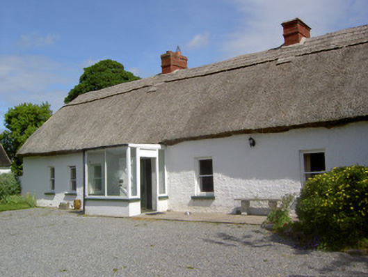 Ballynacloona Cottagehouse · 187 yd
 Wild CherryWild Cherry · 1001 yd
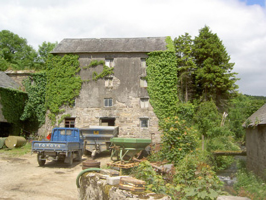 mill (water)mill (water) · 1152 yd
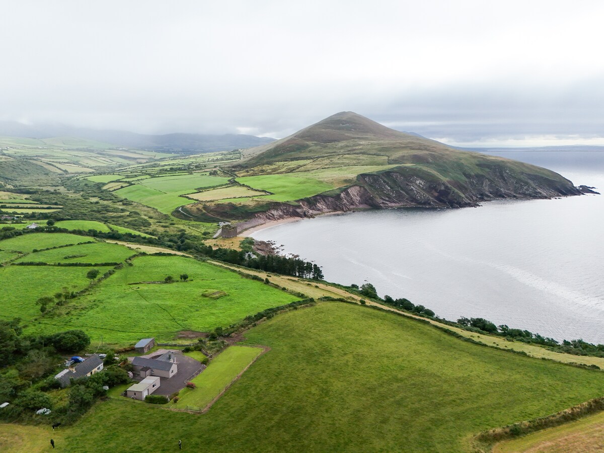 IndicatedEnclosure · 1188 yd
 Concentric enclosure in KilcashConcentric enclosure · 1385 yd
 Bawn in KilcashBawn · 1736 yd
 Kilcash WoodForest · 1.0 mi
 Kilcash CastleCastle · 1.5 mi
 Curraghdobbin HillMountain / peak · 1.5 mi
 Thomas KielyMemorial · 1.5 mi
 Carrigaloe RockNamed rock · 1.7 mi
 Carrigadoon HillMountain / peak · 3.6 mi