What is recorded here
Fairy fort / earthen ringfort in Ballynacarrow (rathconrath By.) is a fairy fort or earthen ringfort in Ballynacarrow (rathconrath By.), County Westmeath, Ireland. The site sits on an elevated rise in pasture, originally located on the northeast shoulder of a hill that has been partially quarried into. A 1983 description recorded a roughly circular area twenty-five metres in diameter, enclosed by intermittent remains of a low, narrow earth and stone bank approximately one metre high, which was best preserved at the west. The east side shows disturbed remains on the lip of a disused quarry, while no visible trace of an entrance or fosse was noted.
Situated on an elevated rise, in pasture, with good views of Mount Dalton Lough to E, to S and W, which are inhibited by higher ground to SW and N. The monument was originally situated on the NE shoulder of a hill which has been partially quarried into. Depicted as a circular-shaped earthwork on the 1837 ed. OS 6-inch map. Depicted on the revised 1913 ed. OS 25-inch map as slightly modified, roughly oval-shaped earthwork.
Described in 1983 as a slightly modified, roughly circular shaped area (diam. 25m) enclosed by the intermittent remains of a low, narrow earth and stone bank (approx. H 1m) which is best preserved at W. The disturbed remains of a low bank are visible at E, which is situated on the lip of a disused quarry causing the outer part of this bank to slip down a steep slope into the quarry. No visible trace of an entrance or a fosse. The interior of the site has a gentle E-facing slope and is obscured by dense overgrowth, particularly across the W and N quadrants. Where visible, the interior surface is uneven due to disturbance and natural rock outcropping. A possible structure (WM017-107001-) is located within the W quadrant. Monument is visible today as a roughly circular-shaped tree-lined earthwork on Digital Globe aerial photography. Cultivation ridges running NW-SE are visible in field immediately to E.
Compiled by: Alison McQueen, Vera Rahilly and Caimin O’Brien
Date of upload: 10 January 2019
This remains an important historical record, but the official description says the monument is no longer visible or has been destroyed. The monument record does not grant public access. Check the route and ask the landowner before entering private land.
- What survives
- No visible remains or recorded as destroyed
Places near here
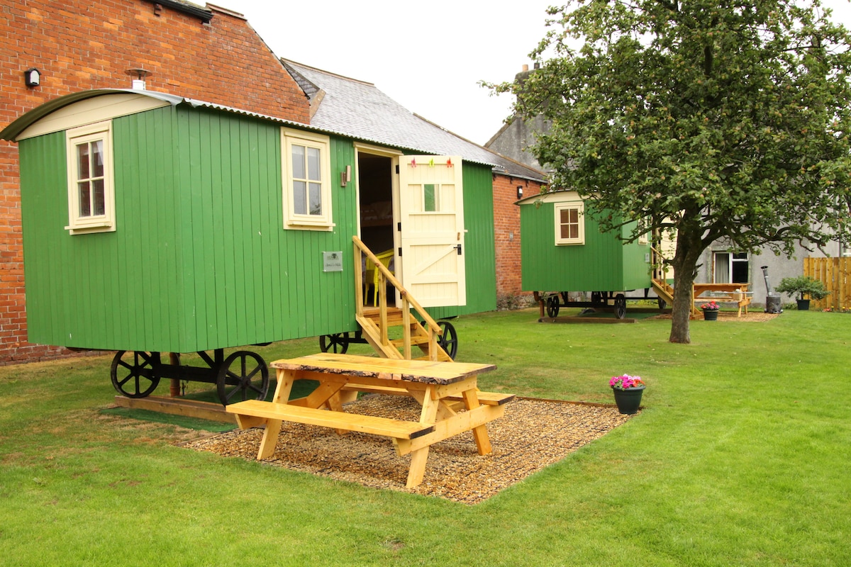 Hut site in Ballynacarrow (rathconrath By.)Hut site · 1 yd
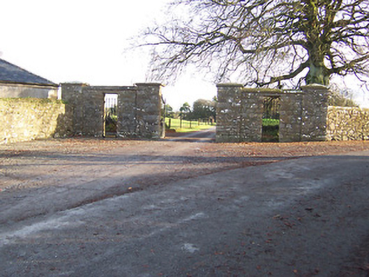 Mount Dalton Housegates/railings/walls · 451 yd
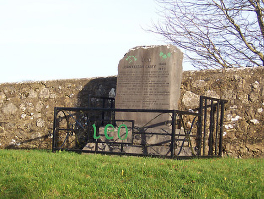 John Keegan Casey Monumentmonument · 547 yd
 Hut site in Farthingstown (rathconrath By.)Hut site · 673 yd
 CastleCastle, tower house · 1668 yd
 Boleyvillish CastleCastle · 1.1 mi
 Ancient Ring FortWood · 1.4 mi
 Hill of UisneachMountain / peak · 1.8 mi
 Sam's ParkForest · 4.6 mi
 Abbeyshrule AbbeyRuins · 6.4 mi
 Guest ServicesVisitor information · 7.2 mi
 Goldsmith Birthplace, PallasVisitor information · 7.5 mi