
What is recorded here
Situated on a natural rise, in undulating pasture. Within SW quadrant of ringfort (WM017-102----) a rectangular-shaped area (dims. 6.5m E-W; 5.5m N-S) enclosed by the poorly preserved remains of earth and stone banks. These incorporate rock outcrop and have been disturbed by deposits of field clearance stones in places. The interior has an almost square-cut base suggesting a house site. The remains of an earthen bank (L 11.6m; Wth 0.8m) incorporating some large stones set on end, extends from the NE corner of the house site to the perimeter of the ringfort interior at NNW.
Compiled by: Alison McQueen, Vera Rahilly and Caimin O’Brien
Date of upload: 09 January 2019
The monument record does not grant public access. Check the route and ask the landowner before entering private land.
- What survives
- Recorded monument
Places near here
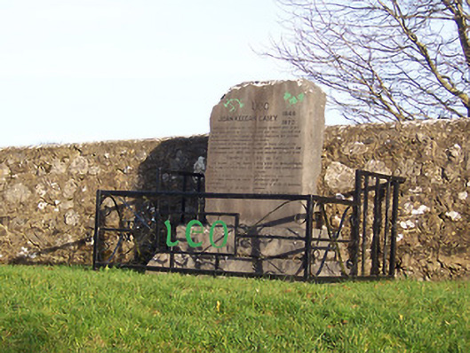 John Keegan Casey Monumentmonument · 167 yd
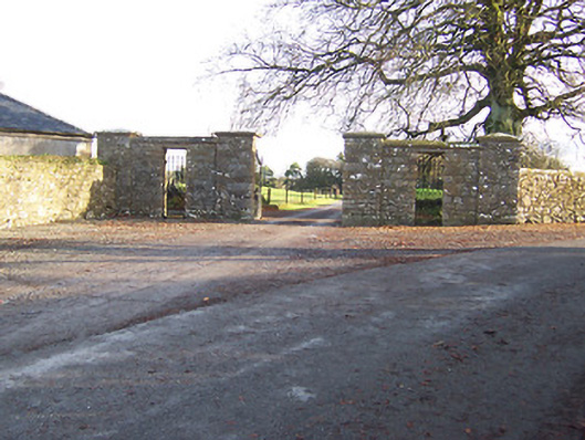 Mount Dalton Housegates/railings/walls · 376 yd
 Hut site in Ballynacarrow (rathconrath By.)Hut site · 461 yd
 Partially hachuredFairy fort / ringfort · 574 yd
 CastleCastle, tower house · 1076 yd
 Ancient Ring FortWood · 1.1 mi
 Hachured, 420 ODCastle, motte · 1.1 mi
 Hill of UisneachMountain / peak · 2.2 mi
 European ashEuropean ash · 2.8 mi
 Abbeyshrule AbbeyRuins · 6.1 mi
 Guest ServicesVisitor information · 7.1 mi
 Goldsmith Birthplace, PallasVisitor information · 7.3 mi
Other information
Photo: Credit not shown in the picture search · Rights wording not checked; contact us if this picture should be removed