What is recorded here
Fairy fort / earthen ringfort in Ballynacarrow (rathconrath By.) is a fairy fort or earthen ringfort in Ballynacarrow (rathconrath By.), County Westmeath, Ireland. The 1837 Ordnance Survey map depicts it as a circular earthwork with an approximate diameter of 35 metres, while the revised 1913 map shows a roughly oval form measuring 35 metres from northwest to southeast and 31 metres from northeast to southwest. A 1971 inventory recorded the site as completely levelled with no surface remains visible, though a heavier growth of vegetation suggests a roughly circular plan form.
Situated on a slight rise, in gently undulating and hilly pasture, with good views to the SE. Depicted as a circular-shaped earthwork (approx. diam. 35m) on the 1837 ed. OS 6-inch map. Annotated 'fort' on the 1837 OS Fair Plan and depicted map as a circular earthwork defined by a bank and fosse with a small circular hut site (WM017-106001-) within the interior. Depicted on the revised 1913 ed. OS 25-inch map as slightly modified, roughly oval-shaped earthwork (approx. dims. 35m NW-SE; 31m NE-SW). Upstanding monument described in 1967 as an 'Old house site. In a vegetable garden. Small sub-rectangular area left uncultivated. Suggestion of a slight bank, but only about 1’ [foot] high' (OPW Field report 26/09/1967). Described in 1971 as completely levelled, having no surface remains visible. A heavier growth of vegetation defining the perimeter of the monument suggests a roughly circular plan form. Faint outline of levelled monument is visible today as a roughly circular-shaped cropmark on Digital Globe aerial photography.
Compiled by: Alison McQueen, Vera Rahilly and Caimin O’Brien
Date of upload: 10 January 2019
The monument record does not grant public access. Check the route and ask the landowner before entering private land.
- What survives
- Recorded monument
Places near here
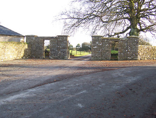 Mount Dalton Housegates/railings/walls · 121 yd
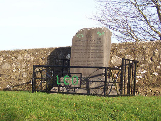 John Keegan Casey Monumentmonument · 294 yd
 Hut site in Ballynacarrow (rathconrath By.)Hut site · 337 yd
 Hut site in Farthingstown (rathconrath By.)Hut site · 458 yd
 CastleCastle, tower house · 1530 yd
 Ancient Ring FortWood · 1.2 mi
 Boleyvillish CastleCastle · 1.3 mi
 Hill of UisneachMountain / peak · 2.0 mi
 Sam's ParkForest · 4.7 mi
 Abbeyshrule AbbeyRuins · 6.4 mi
 Guest ServicesVisitor information · 7.3 mi
 Goldsmith Birthplace, PallasVisitor information · 7.6 mi