What is recorded here
Fairy fort / earthen ringfort in Ballynacarrow North is a fairy fort or earthen ringfort in Ballynacarrow North, County Sligo, Ireland. The wedge-shaped site sits at the top of a steep slope descending toward the Owenmore River, using a built-up scarp to compensate for the natural fall of ground. Large stones protrude from the sod along the top of this scarp, while a distinct circular stony rise occupies the centre of the level interior. The 1838 Ordnance Survey map already marked the embanked circular area, confirming the structure long before modern inventory work described its banks and dimensions.
In pasture, at the top of a steep slope down to the Owenmore River to NNE. A roughly wedge-shaped area (14m WNW-ESE at S; 38m WNW-ESE at N; 36.4m NNE-SSW) defined on the straight S and W sides by a bank (Wth 2m; int. H 0.5m; ext. H 0.5m), by a scarp (H 1.35m; Wth slope 3.5m) in a shallow curving arc NNW-NE and on the straight E side by a bank, reduced to scarp at NE end. The scarp NNW-NE is built up to compensate for the natural fall of ground. Large stones protrude from the sod along the top of the scarp at NE. The interior is generally level but roughly in the centre there is a slight rise (diam. c. 10m). Just to N of this is a more pronounced roughly circular, sod-covered stony rise (5m E-W; 4m N-S; H 0.55m). The rath is indicated as an embanked circular area (diam. c. 32m) on the 1838 OS 6-inch map.
The above description is derived from the published 'Archaeological Inventory of County Sligo' compiled by Ursula Egan, Elizabeth Byrne, Mary Sleeman with Sheila Ronan and Connie Murphy (Dublin Stationery Office, 2005).
Date of upload: 18 January 2008
The monument record does not grant public access. Check the route and ask the landowner before entering private land.
- What survives
- Recorded monument
Places near here
 Bleach MillMill, bleaching · 137 yd
 Indicated (1838).Fairy fort / earthen ringfort · 984 yd
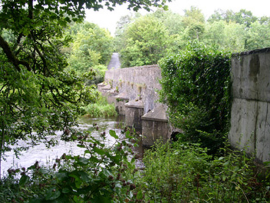 Ardcree Bridgebridge · 999 yd
 IndicatedFairy fort / earthen ringfort · 1163 yd
 Moymlough Castle (in Ruins)Castle, tower house · 1.9 mi
 European ashEuropean ash · 2.4 mi
 Castle (Site of)Castle, unclassified · 2.4 mi
 ElderElder · 2.6 mi
 Tullaghan HillMountain / peak · 2.9 mi
 CroaghaunMountain / peak · 3.5 mi
 James MorrisonMemorial · 4.4 mi
 RinnatalleenHeadland · 5.0 mi