What is recorded here
Fairy forts are not places to tease. They belong to the hidden people who still own the land beneath our feet. In Ballymorisheen, a ringfort stood in pasture until men levelled it and buried its memory under a mound of earth. The fairies did not vanish. They waited for human arrogance to show itself, then took the fort back by erasing it from the world entirely.
In pasture. Depicted as hachured circular enclosure (diam. c. 35m) on 1842, 1904 and 1938 OS 6-inch maps; limekiln incorporated into S bank on 1842 OS 6-inch map. According to landowner, levelled c. 1940s; large mound of earth dumped in area of W bank; no visible surface trace of site.
The above description is derived from the published 'Archaeological Inventory of County Cork. Volume 3: Mid Cork' (Dublin: Stationery Office, 1997). In certain instances the entries have been revised and updated in the light of recent research.
Date of upload/revision: 14 January 2009
The monument record does not grant public access. Check the route and ask the landowner before entering private land.
- What survives
- Recorded monument
Places near here
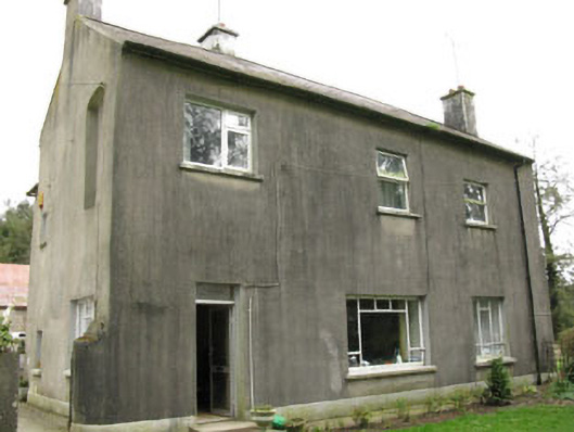 Davis Castlehouse · 716 yd
 Enclosure in Ballyvaloon (barretts By.)Enclosure · 1479 yd
 Enclosure in BallymorisheenEnclosure · 1567 yd
 farm housefarm house · 1601 yd
 Lyradane MountainMountain / peak · 1.9 mi
 Castle (Site of)Castle, unclassified · 2.2 mi
 Ballyvodane Castle (in Ruins)Castle, unclassified · 2.2 mi
 Rock HillMountain / peak · 2.4 mi
 Pairc Ath Na hEornaMemorial · 2.5 mi
 Graveyard in KilmonaGraveyard · 3.3 mi
 New TipperaryVisitor information · 4.0 mi
 BatsVisitor information · 4.8 mi