What is recorded here
Fairy fort / earthen ringfort in Ballymore,rathcor stands in County Longford, Ireland. It is not connected to an exact owner, builder, event or dated claim in the supplied facts.
In pasture on a very steep SE-facing slope of a ridge. Depicted as a fort, straddling the townland boundary, on a map of Ballymore that was surveyed in 1792 (NLI, MS 21 F. 40 (22)). The monument has been levelled and is not visible at ground level. However, a curving cropmark visible on an aerial photograph (SMR file) in Ballymore townland may mark its outline. Alternatively the cropmark may be that of the curving field boundary, now levelled, that is shown on the 1837 ed. of the OS 6-inch map.
Compiled by: Olive Alcock
Date of upload: 26 November 2012
The monument record does not grant public access. Check the route and ask the landowner before entering private land.
- What survives
- Recorded monument
Places near here
 Enclosure in RathcorEnclosure · 649 yd
 TobergownaHoly well · 659 yd
 Water millWater mill, unclassified · 1473 yd
 BawnBawn · 1.1 mi
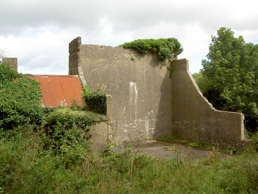 handball alleyhandball alley · 1.2 mi
 CastleCastle, unclassified · 2.0 mi
 Granard MotteMotte-and-bailey castle remains · 2.0 mi
 1798 Monumentmonument · 2.0 mi
 Cloonfin WoodForest · 2.1 mi
 Clonfin Ambush MemorialMemorial · 2.4 mi
 InchmoreIslet · 2.7 mi
 Derrycassan WoodsWood · 2.8 mi