What is recorded here
No one knows who first circled that Galway slope or why, but the earth remembers the shape even when the field has swallowed the name. A fort, a fairy ring, a child's chalk circle, a border drawn in soil: every possibility fits the hole left behind. What is certain is that the land still holds an outline, and people keep returning to complete it with imagination.
On NE-facing slope of a hillock in undulating farmland. Marked on 3rd ed. of OS 6-inch map (1932) as a roughly circular enclosure (D c. 55m). Neary (1914, 122, no. 136) describes it as a 'circular earthen fort … only a segment of [which] remains. The diameter of the garth would be about 120 ft [36.6m]. There remains a 10 ft. [3.05m] scarp N. side and a 10 ft. ditch'. No visible surface trace survives.
The above description is derived from the published 'Archaeological Inventory of County Galway Vol. II - North Galway'. Compiled by Olive Alcock, Kathy de hÓra and Paul Gosling (Dublin: Stationery Office, 1999).
Date of upload: 05 August 2010
The monument record does not grant public access. Check the route and ask the landowner before entering private land.
- What survives
- Recorded monument
Places near here
 IndicatedEnclosure · 1513 yd
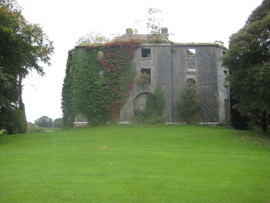 Dunmore Housecountry house · 1685 yd
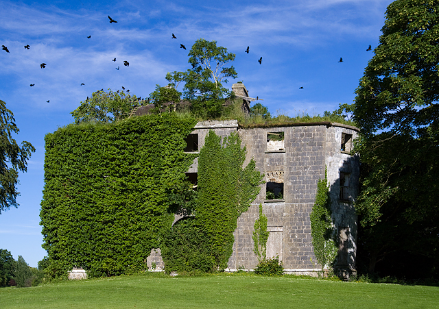 Country house in Dunmore DemesneCountry house · 1690 yd
 Cross in DunmoreCross · 1.1 mi
 Dunmore CastleCastle · 1.3 mi
 Site of Doonbally CastleCastle, unclassified · 2.8 mi
 Slieve DartMountain / peak · 4.9 mi
 European ashEuropean ash · 7.1 mi
 Mass RockNamed rock · 8.9 mi
 KnockmaaWood · 12 mi
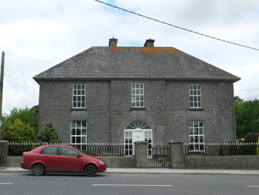 Merton Housepresbytery/parochial/curate's house · 1.0 mi
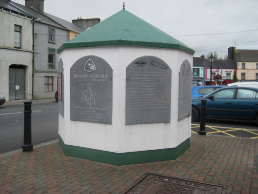 weighbridge/weighhouseweighbridge/weighhouse · 1.1 mi