What is recorded here
Fairy forts are often dismissed as fantasy, yet this is a real ringfort in Ballymaurice, County Longford, with a measurable bank, scarp, and waterlogged fosse. The causeway at the east may have been the entrance, suggesting people crossed deliberate obstacles to enter. Its size and shape fit a human dwelling or stronghold, not a fairy tale. The name may reflect later wonder rather than literal belief, but the earthwork itself remains clear: someone shaped that land for defense, identity, or both.
On a low rise in pasture. A raised subcircular area (40m NW–SE; 36m NE–SW) enclosed from WNW–N–E by a wide low bank of earth and stone (Wth 5-8m; H 0.3-0.8m) and elsewhere defined by a scarp (H 2-3.5m) with a wide, deep, partially waterlogged fosse (Wth 6.5-9m; D 1.2-2m). A causeway (Wth 4-6m) across the fosse at E may mark the original entrance.
Compiled by: Patrick F. O'Donovan
Date of upload: 23 November 2011
The monument record does not grant public access. Check the route and ask the landowner before entering private land.
- What survives
- Recorded monument
Places near here
 Enclosure in BallymauriceEnclosure · 248 yd
 BarrowBarrow, ring-barrow · 494 yd
 gates/railings/wallsgates/railings/walls · 1297 yd
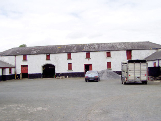 Toneen Lodgeoutbuilding · 1449 yd
 Bakers FortCastle, ringwork · 1.0 mi
 Moat of GranardCastle, motte and bailey · 1.1 mi
 1798 Monumentmonument · 1.1 mi
 Granard MotteMotte-and-bailey castle remains · 1.1 mi
 CartronfreeMountain / peak · 3.5 mi
 CarrickabaneMountain / peak · 4.1 mi
 Clonfin Ambush MemorialMemorial · 4.3 mi
 Watty's RocksIslet · 4.7 mi