What is recorded here
Fairy fort in Ballymaurice, County Longford: an oval rath on a south-facing slope, partly quarried away, with a low earth-and-stone bank and infilled ditch surviving from west through north to east. The missing southern half suggests people took stone or soil for their own walls and fields, treating ancient shape as available material. What remains feels less like a display piece than a wound in the land, where human wantfulness cut through older continuity.
On a S-facing slope. A raised oval area (c. 44m NW-SE; c. 30m NE-SW) enclosed from WSW-N-ESE by a wide low bank of earth and stone (Wth 5-7m; H 0.3-0.95m) with a partially infilled external fosse (Wth c. 6-7m; D 0.3-0.8m). From ESE-S-WSW the enclosing elements and most of the interior have been quarried away. A modern E-W field boundary crosses this part of the rath. A report in 1975 (SMR file) recorded that the original entrance was at NNE.
Compiled by: Patrick F. O'Donovan
Date of upload: 26 August 2011
The monument record does not grant public access. Check the route and ask the landowner before entering private land.
- What survives
- Recorded monument
Places near here
 Enclosure in BallymauriceEnclosure · 110 yd
 BarrowBarrow, ring-barrow · 409 yd
 gates/railings/wallsgates/railings/walls · 1206 yd
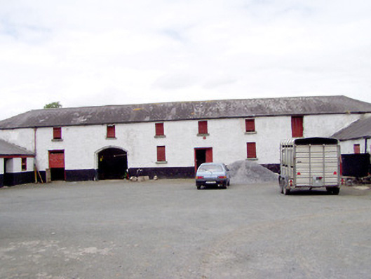 Toneen Lodgeoutbuilding · 1467 yd
 Bakers FortCastle, ringwork · 1.0 mi
 Moat of GranardCastle, motte and bailey · 1.1 mi
 Granard MotteMotte-and-bailey castle remains · 1.1 mi
 1798 Monumentmonument · 1.1 mi
 CartronfreeMountain / peak · 3.6 mi
 CarrickabaneMountain / peak · 4.2 mi
 Clonfin Ambush MemorialMemorial · 4.2 mi
 Cloonfin WoodForest · 4.7 mi