What is recorded here
Situated at the base of the E facing slope of a steep prominent irregular shaped ridge, surrounded by hilly land with good views to SSE. Ringfort (WM003-015----) 360m to NNE, two ringforts (WM003-017----; WM003-018----) 370m to E. No surface remains visible of levelled ringfort. Described in 1956 as a ringfort consisting of a circular shaped area (diam. 32m N-S; 29m E-W) enclosed by a low earthen bank (Wth 1.8m; H 0.6m) with several gaps but no clear entrance feature and no external fosse visible (OPW Field Report 08/11/1956). No trace or cropmark of this levelled monument is visible on Digital Globe aerial photograph taken November 2011.
Compiled by: Frank Coyne & Caimin O'Brien
Date of upload: 21 December 2016
The monument record does not grant public access. Check the route and ask the landowner before entering private land.
- What survives
- Recorded monument
Places near here
 Partially hachuredFairy fort / earthen ringfort · 441 yd
 Hilltop enclosure in LittlewoodHilltop enclosure · 730 yd
 Ballycomoyle National Schoolschool · 1228 yd
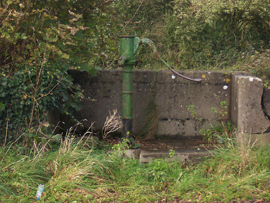 water pumpwater pump · 1490 yd
 Mullaghmeen ForestPicnic place · 1.0 mi
 Hilltown Castle (in ruins)Castle, tower house · 1.3 mi
 Mullaghmeen Red WalkWalking route · 1.4 mi
 CastleCastle, unclassified · 1.5 mi
 Mullaghmeen White WalkWalking route · 1.6 mi
 MullaghmeenMountain / peak · 1.9 mi
 Rock of CurryCliff · 2.0 mi
 European ashEuropean ash · 3.1 mi