What is recorded here
Situated on a natural rise on well drained pasture-land. Ringforts (WM003-020----; WM003-019----) 60m to NNW, ringfort (WM003-023----) 290m to E. Roughly oval-shaped area (diam. 32m) enclosed by a substantial earth and stone bank, wide deep round-bottomed external fosse, no entrance clearly visible. Enclosing bank forms field boundary from S-W-NW as depicted on the 1837 ed. OS 6-inch map. Several modern gaps in bank. The interior is sub-divided by a straight bank of stony earth.
Compiled by: Frank Coyne & Caimin O'Brien
Date of upload: 21 December 2016
The monument record does not grant public access. Check the route and ask the landowner before entering private land.
- What survives
- Recorded monument
Places near here
 Partially hachuredFairy fort / earthen ringfort · 360 yd
 Hut site in BallymanusHut site · 541 yd
 Ballycomoyle National Schoolschool · 1344 yd
 Hilltown Castle (in ruins)Castle, tower house · 1553 yd
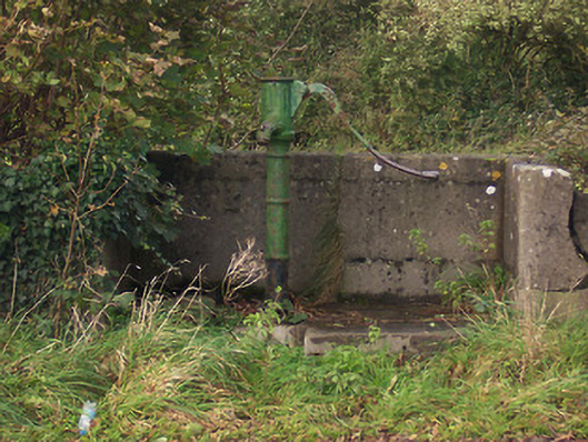 water pumpwater pump · 1575 yd
 Mullaghmeen ForestPicnic place · 1.2 mi
 CastleCastle, unclassified · 1.3 mi
 Mullaghmeen Red WalkWalking route · 1.6 mi
 Mullaghmeen White WalkWalking route · 1.8 mi
 Rock of CurryCliff · 2.3 mi
 European ashEuropean ash · 3.1 mi
 Silver FirSilver Fir · 3.7 mi