What is recorded here
Fairy fort in Ballymakeegan is a 24.4-metre earthen ring on a gentle south-east slope, its wide low bank and shallow fosse still marking the shape of an old enclosed life. A narrow break at the south-east may have been the entrance, while a later field boundary cut across the circle and levelled part of the west side. The surviving ditch suggests the place resisted forgetting even when pasture and drainage changed it.
On a gentle SSE-facing slope in pasture. A raised circular area (diam. 24.4m) enclosed by a wide, low bank of earth and stone (Wth 6.9m; H 0.1-1.3m) with a shallow external fosse (Wth 4.3m; D 0.9m). It is divided into unequal portions by a NNW-SSE field boundary with accompanying drains. The smaller portion, to the WSW, has been levelled. However, the fosse survives. A narrow break (Wth 2.1m) in the bank at SSE with traces of a possible accompanying causeway may mark the original entrance.
Compiled by: Patrick F. O'Donovan
Date of upload: 26 August 2011
The monument record does not grant public access. Check the route and ask the landowner before entering private land.
- What survives
- Recorded monument
Places near here
 BarrowBarrow, unclassified · 1175 yd
 Holy well in FeraghfadHoly well · 1311 yd
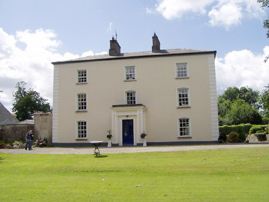 Viewmount Househouse · 1381 yd
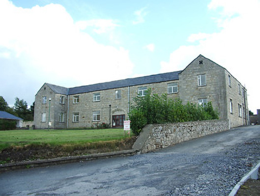 Longford Regional Hospitalhospital/infirmary · 1598 yd
 First World War MemorialMemorial · 1.4 mi
 Saint Mel's CathedralCathedral · 1.4 mi
 Bawn in AbbeycartronBawn · 1.7 mi
 Graveyard in Curry (ardagh By., Coolamber Ed)Graveyard · 2.4 mi
 CastleCastle, Anglo-Norman masonry castle · 2.4 mi
 St. Barry's WellSpring · 6.6 mi
 Commons North WalkVisitor information · 9.2 mi
 Wild birdsVisitor information · 9.4 mi