What is recorded here
No visible fort exists in Ballymahon, only a hidden circular scar beside the Boyne. Katherine McCormack first identified the shallow ditch and triangular pit, revealing a forgotten rath buried beneath grass and time. The fairies kept their fort from human eyes, but satellite light crossed the town and dragged the shape back into the world.
Situated on a level landscape on the plain of the Rive Boyne, with a NW-SE section of the river c. 180m to the NE. A circular area (int. diam. c. 30-35m) defined by a fosse feature (Wth c. 1-3m) with an entrance break (Wth c. 4) at ENE is visible on Bing images (c. 2013). It was first identified by Katherine McCormack, and at the centre there is a triangular pit feature (dims c. 7m x c. 5m). It is also visible on Google Earth (29/06/2018) where an entrance gap at NE is also visible.
See the attached view from Google Earth
Compiled by: Michael Moore
Date of upload: 11 July, 2016
Amended: 18 July, 2019
The monument record does not grant public access. Check the route and ask the landowner before entering private land.
- What survives
- Recorded monument
Places near here
 Donore CastleCastle · 345 yd
 CastleCastle, tower house · 345 yd
 Friary & ChapelReligious house, Dominican friars · 552 yd
 European BeechEuropean Beech · 811 yd
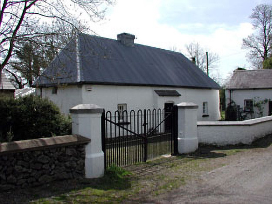 farm housefarm house · 831 yd
 Common LimeCommon Lime · 1005 yd
 EnclosureEnclosure, large enclosure · 1.1 mi
 Concentric enclosure in DalystownConcentric enclosure · 1.8 mi
 Croppies' GraveMemorial · 4.3 mi
 Cloncurry GraveyardHeritage attraction · 8.0 mi
 Old Bog Road made famous by Teresa Bryton 1868-1943Memorial · 8.8 mi
 Kilgar GardensHeritage attraction · 11 mi