What is recorded here
Raised circular area (int. diam. 18.2m) enclosed by a very low earthen bank and vague traces of a fosse identifiable only from SW-W-N. An earlier report (OPW 1969) suggested that the original entrance may have been at SSE.
The above description is derived from the published 'Archaeological Inventory of County Cavan' (Dublin: Stationery Office, 1995). In certain instances the entries have been revised and updated in the light of recent research.
Date of upload/revision: 22 December 2008
The monument record does not grant public access. Check the route and ask the landowner before entering private land.
- What survives
- Recorded monument
Places near here
 IndicatedCastle, tower house · 481 yd
 Derryragh FortHilltop enclosure · 1156 yd
 Giants GraveArchaeological place · 1211 yd
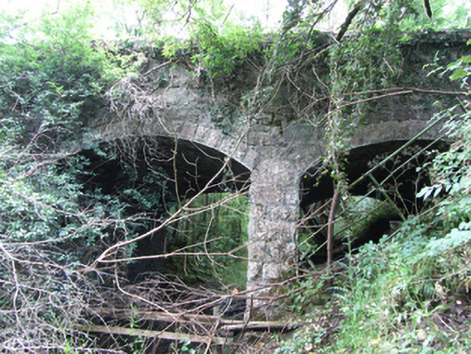 Killyran Bridgebridge · 1322 yd
 Black PoplarBlack Poplar · 1405 yd
 CastleCastle, ringwork · 1512 yd
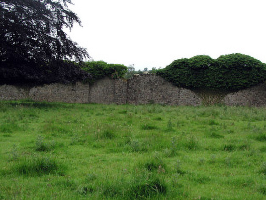 Woodfordwalled garden · 1726 yd
 Cross in CullyCross · 1.3 mi
 DerrynigginMountain / peak · 1.4 mi
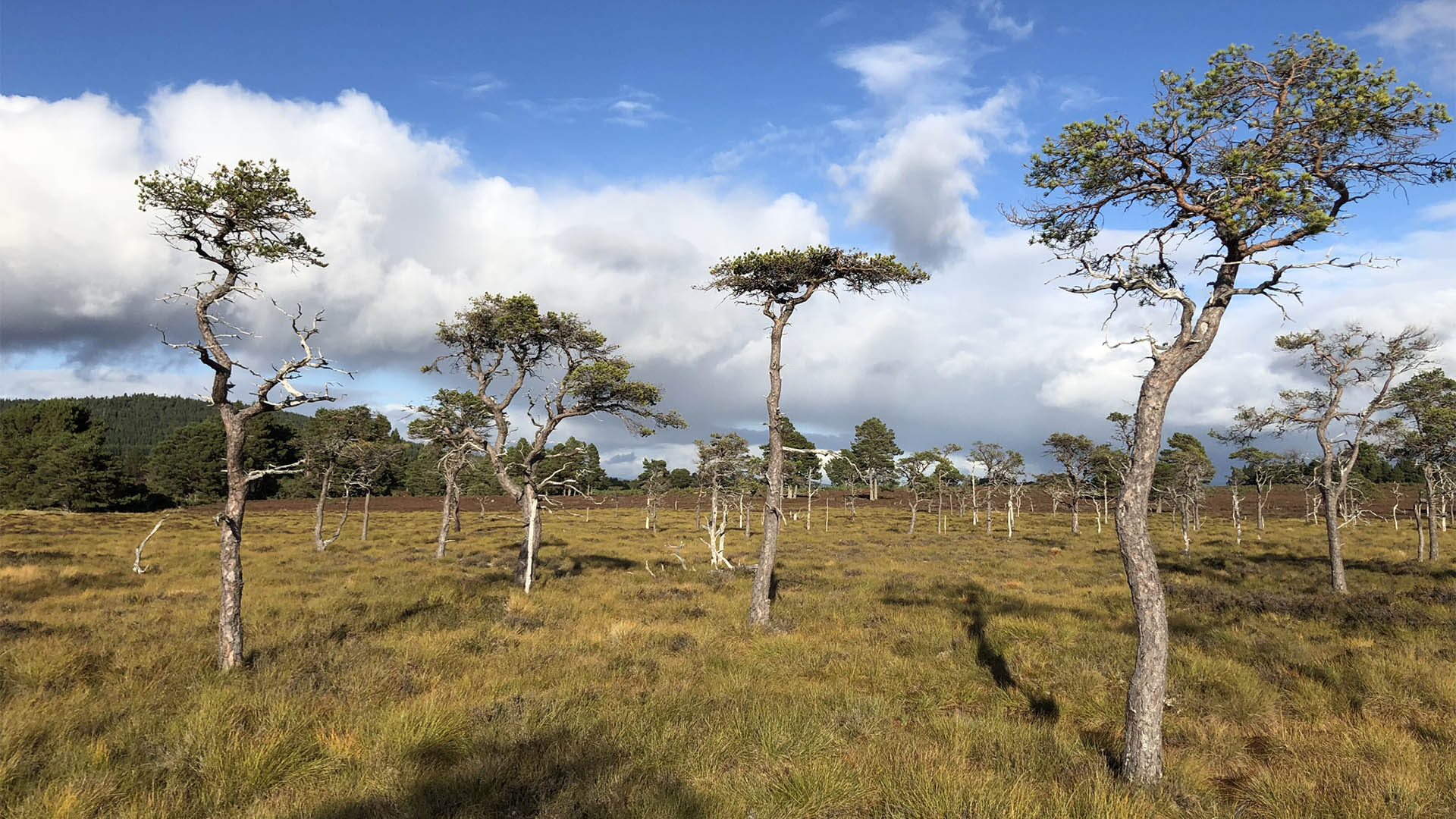 Derrycassan Bog WoodlandWood · 1.4 mi
 Saint Mogue's IslandIslet · 1.7 mi
 Cherry IslandIslet · 1.8 mi