What is recorded here
Ballymacshaneboy holds a thirty-metre earthen ring on a slight south-facing slope, marked by a scarp and narrow fosse that have resisted pasture and scrub since at least the 1840 map. The interior remains densely overgrown and inaccessible, preserving a dry, level chamber where human life may have turned, hidden or simply existed before memory faded. The fairies keep the fort closed, but the earth still shows the shape of their refusal to be forgotten.
In pasture, on a very slight S-facing undulating slope, with moderate views E-W. Depicted on the 1840 ed. OSi 6-inch map as a raised circular-shaped area defined by a scarp, lined with trees. Shown on the 1897 ed. OSi 25-inch map as a raised circular-shaped area defined by a scarp. Surveyed in 1999 and described as a slightly raised sub-circular shaped area (diam. 30m) defined by a scarp with fosse (Wth 6.65m; int. D 2.1m; ext. D 0.5m) from SE-S-W-N. Interior is densely overgrown and inaccessible, appears dry and level. Scrub-covered monument visible on Digital Globe orthoimage taken between 2011-2013 and on Google Earth orthoimages.
See attached sketch plan surveyed and drawn by ASI, oblique aerial photograph (ASIAP) and Google Earth orthoimages
Compiled by: Fiona Rooney
Date of upload: 16 November 2021
A fairy fort or earthen ringfort in Ballymacshaneboy is a circular earthen enclosure, likely dating to the early medieval period, used as a small defensive or agricultural settlement. It is associated with local folklore referring to it as a "fairy fort," reflecting the common Irish tradition of attributing supernatural significance to such ancient sites.
The monument record does not grant public access. Check the route and ask the landowner before entering private land.
- What survives
- Recorded monument
Places near here
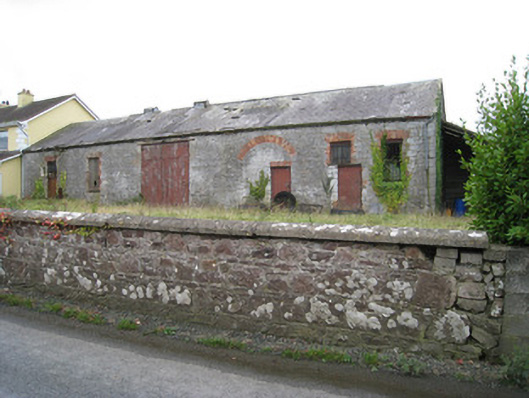 Effin Creameycreamery · 1038 yd
 Enclosure in BrickfieldEnclosure · 1076 yd
 BarrowBarrow, ring-barrow · 1545 yd
 Castle (in ruins)Castle, unclassified · 1562 yd
 Ballymacshaneboy Castle (in ruins)Castle, unclassified · 1632 yd
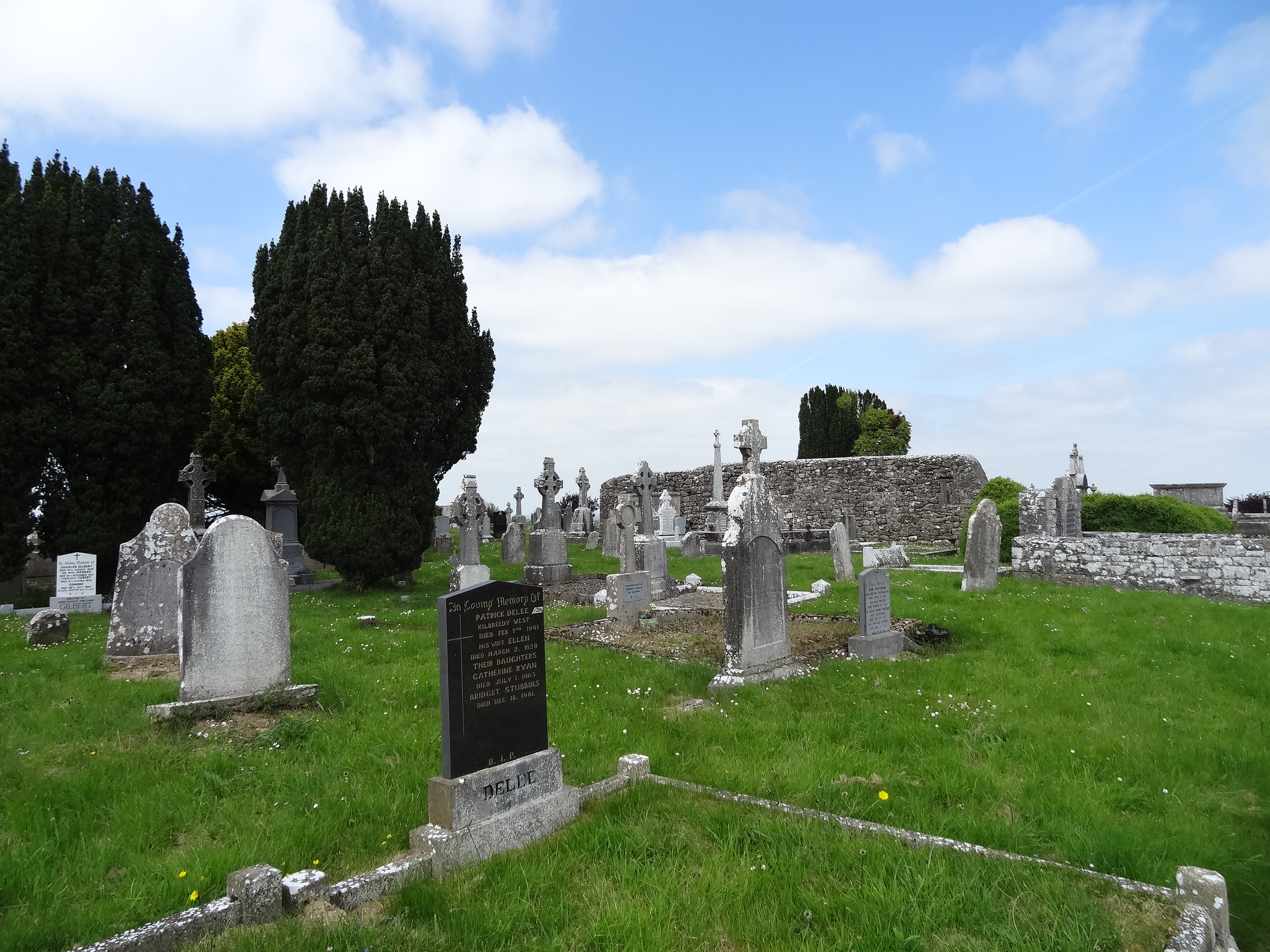 Effin Church (in ruins)Church · 1.0 mi
 ToberSpring · 1.1 mi
 Lady's WellSpring · 1.1 mi
 Caher HillMountain / peak · 1.8 mi
 BallinaboolaVisitor information · 2.3 mi
 Carron MountainMountain / peak · 2.9 mi
 Holy Cross CemeteryGraveyard · 3.0 mi