What is recorded here
Mortons and others moved earth and stone on that east-facing slope, building a level circular platform inside a four-metre bank while hawthorn and blackthorn later choked the work. They claimed to answer an invitation from the fairies, but the shape and size suggest human hands, not magical instruction. The fort still stands in pasture, slightly oval, with breaks in the bank and a low eastern entrance, remembering both the trick claimed and the labour performed.
In pasture, located on an E–facing slope, providing very good views to N and E; rising ground restricts views to W. Raised circular area/platform (29.5m N–S; 28.5m E–W to fence) enclosed by an earth and stone bank (4.5m at E, 4m at W; int. H 0.2m at E, 0.7m at W; 1.7m at E, 0.6m at W).
The rath platform is built up on the E half to compensating for the natural slope, creating a level interior, and the external slope of the bank is enhanced here by the natural fall of ground. There is no clearly defined entrance, but a low area is evident in the bank at E, and there are eroded areas/breaks (Wth c. 1m) in the bank at NNW and SSW. The rath is engulfed in a thicket of hawthorn and blackthorn. Field clearance stones and boulders are evident in parts along line of bank.
Compiled by: Jane O’Shaughnessy
Date of upload: 1 April 2020
The monument record does not grant public access. Check the route and ask the landowner before entering private land.
- What survives
- Recorded monument
Places near here
 IndicatedFairy fort / earthen ringfort · 236 yd
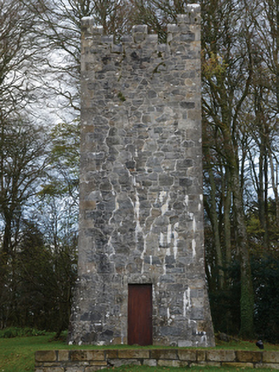 Mount Falconbuilding misc · 619 yd
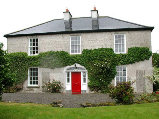 Barnfield Housefarm house · 1060 yd
 Enclosure in CorroyEnclosure · 1163 yd
 Gull IslandIslet · 1557 yd
 Castle (in ruins)Castle, unclassified · 1690 yd
 Cloghans CastleCastle, tower house · 1.9 mi
 Battle of Ballinabattle · 4.1 miHumbert MonumentMemorial · 4.1 mi
 Cliff IslandIslet · 4.8 mi
 Drummin ForestForest · 4.8 mi
 Lough CullinViewpoint · 4.9 mi