What is recorded here
Fairy forts are not fairy forts, they are human rings, and Ballymacowen was one of them: a thirty-five-metre circle on an east-facing slope above a tributary to the Argideen River. It has been levelled now, erased by plough or pride or time, but it was marked on the 1902 survey map, which means men walked that slope with chains and angles and chose to believe what they saw. The fairies got the name because people were not ready to give the dead or the forgotten much credit.
On E-facing slope, overlooking tributary to Argideen River. Marked on OS 6-inch map (1902) as circular enclosure (diam. c. 35m). Levelled, no visible surface evidence.
The above description is derived from the published 'Archaeological Inventory of County Cork. Volume 1: West Cork' (Dublin: Stationery Office, 1992). In certain instances the entries have been revised and updated in the light of recent research.
Date of upload/revision: 14 January 2009
The monument record does not grant public access. Check the route and ask the landowner before entering private land.
- What survives
- Recorded monument
Places near here
 Fulacht fia in Lackanalooha (carbery East (e.d) By.)Fulacht fia · 311 yd
 Barnaghidden BGd for ChildrenBurial ground · 1000 yd
 Ballinoroher CastleCastle · 1022 yd
 Mill (in Ruins)Mill, unclassified · 1141 yd
 Lisselan Housewalled garden · 1287 yd
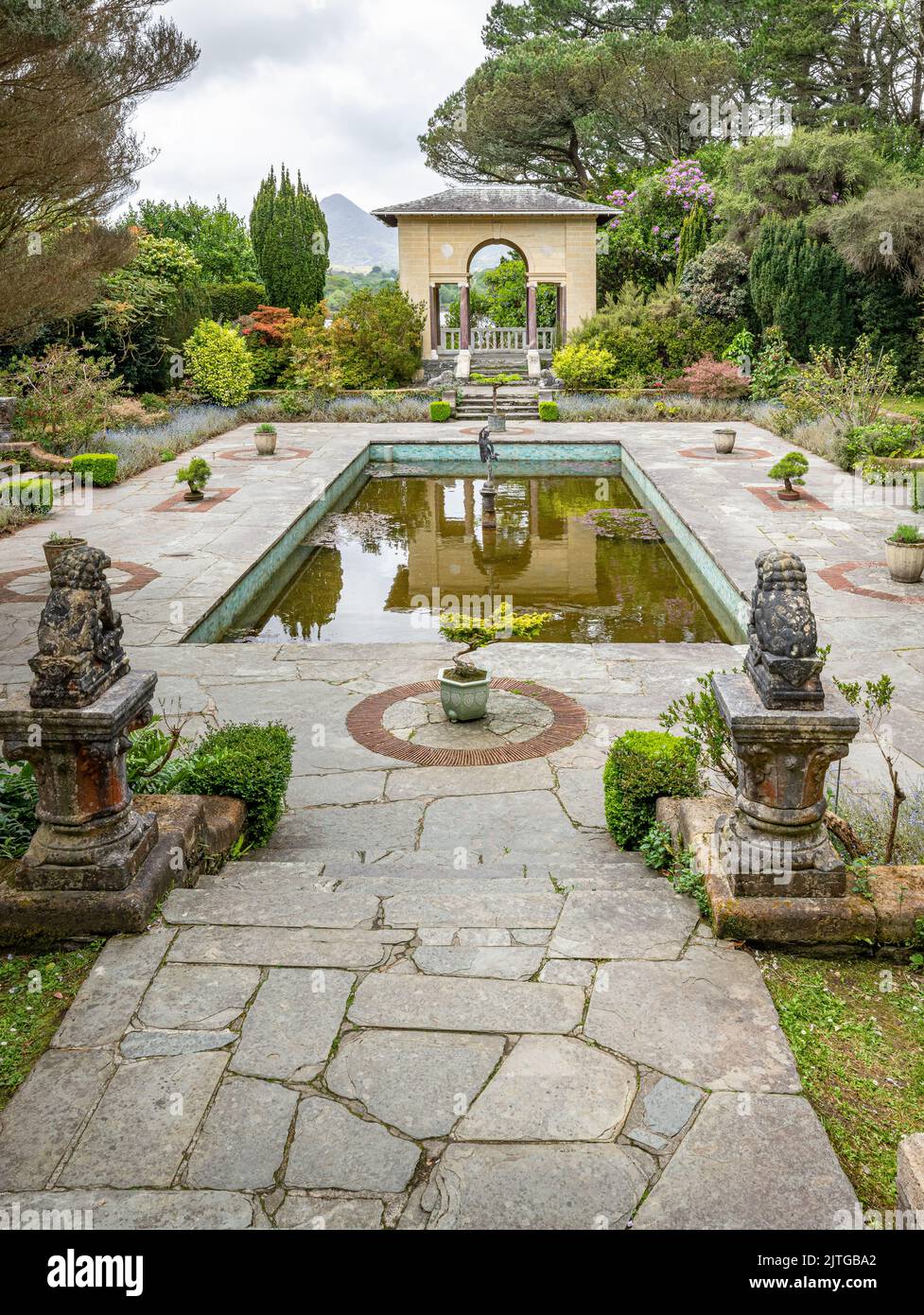 Garden WoodWood · 1330 yd
 Michael Collins CentreMuseum · 1526 yd
 Battle of the Big Cross (1798) Memorial MonumentMonument · 1.5 mi
 Castle (Site of)Castle, unclassified · 1.7 mi
 Graveyard in KilmalodaGraveyard · 2.0 mi
 English hollyEnglish holly · 2.0 mi
 West Cork Model Railway VillageHeritage attraction · 2.4 mi