What is recorded here
Twenty-seven metres of wet earth and stone still circle Ballymaclinaun, though a nine-metre livestock gap has split the eastern bank. The rath sits on a gentle south-facing slope, offering wide views across pasture that has probably trod the ancient fosse flat for centuries. Animals treat the monument as a feeding trough rather than a boundary, reminding us that human history is often just a temporary arrangement with the land.
On a gentle S-facing slope in wet pasture, with wide views out to S. Hachured on the OS 25-inch plan (1897) and Cassini edition (1920) of the OS 6-inch map. Listed as ‘Enclosure’ in the RMP (1996). This circular rath (int. dims. 27m N-S; 26m E-W) is defined by a round-topped earth and stone bank (Wth 2-4.8m; int. H 0.1-0.3m; ext. H 0.5-0.9m), with traces of an external fosse surviving at NE (Wth 4-6m; D 0.15m) and SW (Wth 2-3m; D 0.15m). The bank is cut by livestock gaps at SW (Wth 0.2m) and SE (Wth 0.25m) and a very large gap (Wth 9m) has been cut through the bank at E with spoil at each end of the gap probably consisting of material removed from the original enclosing bank. At SE, a band of rushes marks the line of the largely infilled fosse.
Compiled by: Gearóid Conroy and Conn Herriott
Date of upload: 6-10-2025
A fairy fort or earthen ringfort in Ballymaclinaun is a circular early-medieval defensive or domestic site, likely dating to between the 5th and 10th centuries AD. Local tradition associates such sites with fairy activity, and they were often avoided due to beliefs in their supernatural inhabitants.
The monument record does not grant public access. Check the route and ask the landowner before entering private land.
- What survives
- Recorded monument
Places near here
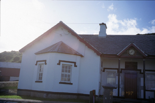 Saint Bridget's National Schoolschool · 889 yd
 Birchfield Housegates/railings/walls · 940 yd
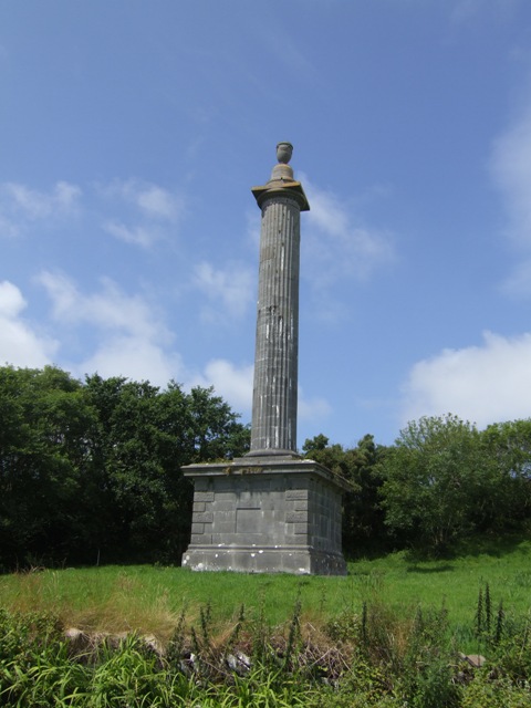 O’Briens MonumentMonument · 1154 yd
 Bridget's Well;St Bridget's WellSpring · 1187 yd
 St Bridgets WellHoly well · 1191 yd
 CastleCastle, unclassified · 1644 yd
 John P. Holland CentreMuseum · 1.1 mi
 Liscannor Castle (in Ruins)Castle, tower house · 1.2 mi
 Cliffs of MoherCliff · 1.8 mi
 Sightseeing Cliffs of Moher SouthViewpoint · 2.0 mi
 Cliffs of Moher Visitor CentreVisitor information · 2.0 mi
 Sea StackMountain / peak · 2.3 mi