What is recorded here
In pasture, on NE-facing slope. Circular area (diam. c. 28m) enclosed by two earthen banks (inner bank: int. H 0.5m; outer bank: ext. H 1.6m) with intervening fosse; shallow external fosse survives to W. Enclosure heavily overgrown; interior inaccessible.
The above description is derived from the published 'Archaeological Inventory of County Cork. Volume 4: North Cork' (Dublin: Stationery Office, 2000). In certain instances the entries have been revised and updated in the light of recent research.
Date of upload/revision: 14 January 2009
A local fairy fort (ringfort/rath); wider significance not recorded.
The monument record does not grant public access. Check the route and ask the landowner before entering private land.
- What survives
- Recorded monument
Places near here
 KilmoreEcclesiastical enclosure · 978 yd
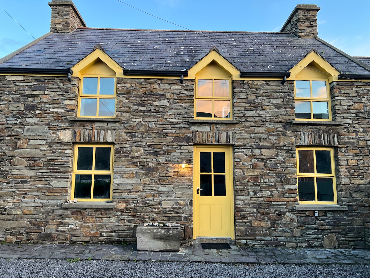 Enclosure in Ballynamuddagh (fermoy By.)Enclosure · 1139 yd
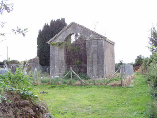 mausoleummausoleum · 1476 yd
 Killathy Church (in Ruins)Church · 1495 yd
 Castle (in Ruins)Castle, Anglo-Norman masonry castle · 1603 yd
 Cregg Castle (in Ruins)Castle, tower house · 1.2 mi
 Johnson's WoodForest · 1.7 mi
 Cappagh XViewpoint · 1.8 mi
 Priest's WoodForest · 2.1 mi
 Liam BurkeMemorial · 2.3 mi
 Blackwater (Avondhu) WayWalking route · 2.4 mi
 Knocknaskagh North TopMountain / peak · 3.4 mi