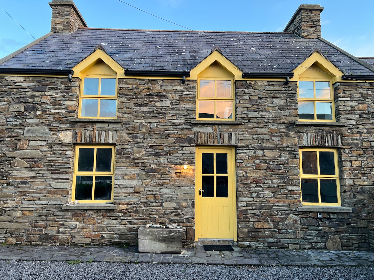
What is recorded here
Depicted as roughly rectangular enclosure on 1842 OS 6-inch map, with N and W sides incorporated into field boundary system. In pasture, on plateau sloping gently down to S. Subrectangular area (c. 90m N-S; c. 70m E-W) defined to N by straight field boundary, to E by fosse (D 0.52m; Wth 7m), to S by scarp (H 1.24m), to W by slightly curved field boundary. Field boundary on N and W sides may incorporate original bank as indicated on 1842 OS 6-inch map. Roadside field boundary skirts fosse on E side. Interior raised above level of surrounding fields to E, S and W; slight ridge (L c. 48m) extends NE from W bank, across N half of interior. Site known locally as a "lios".
The above description is derived from the published 'Archaeological Inventory of County Cork. Volume 4: North Cork' (Dublin: Stationery Office, 2000). In certain instances the entries have been revised and updated in the light of recent research.
Date of upload/revision: 14 January 2009
A local fairy fort (ringfort/rath); wider significance not recorded.
The monument record does not grant public access. Check the route and ask the landowner before entering private land.
- What survives
- Recorded monument
Places near here
 KilmoreEcclesiastical enclosure · 958 yd
 Castle (in Ruins)Castle, Anglo-Norman masonry castle · 1103 yd
 Cappagh XViewpoint · 1.2 mi
 IndicatedKiln, lime · 1.2 mi
 Enclosure in GlanakipEnclosure · 1.4 mi
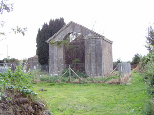 mausoleummausoleum · 1.4 mi
 Cregg Castle (in Ruins)Castle, tower house · 1.6 mi
 Johnson's WoodForest · 1.8 mi
 Coolmucy WoodWood · 1.9 mi
 Liam BurkeMemorial · 1.9 mi
 Blackwater (Avondhu) WayWalking route · 2.6 mi
 Knocknaskagh North TopMountain / peak · 3.2 mi
Other information
Photo: Credit not shown in the picture search · Rights wording not checked; contact us if this picture should be removed