What is recorded here
Fairy fort in Ballymabilla is a subcircular earthen ringfort, twenty-eight metres wide and twenty-four and a half metres deep, set in undulating Galway grassland. Its bank still stands, an outer ditch cuts across the west and north-west, and scattered stone braces the inner slope from north-east to west. People may have lived there, marked territory or simply shaped the land before forgetting why. The field boundary now crosses it, turning an ancient home into a boundary line nobody remembers drawing.
In undulating grassland. Subcircular rath (E-W 28m, N-S 24.5), in fair condition, defined by a bank and external fosse; the latter survives from SW through W to NW. Traces of an outer bank are evident from SW to WSW. Stone revetment is visible intermittently on the internal face of the inner bank from NE through S to W. A field boundary overlies it from WSW through N to NE.
The above description is derived from the published 'Archaeological Inventory of County Galway Vol. II - North Galway'. Compiled by Olive Alcock, Kathy de hÓra and Paul Gosling (Dublin: Stationery Office, 1999).
Date of upload: 05 August 2010
The monument record does not grant public access. Check the route and ask the landowner before entering private land.
- What survives
- Recorded monument
Places near here
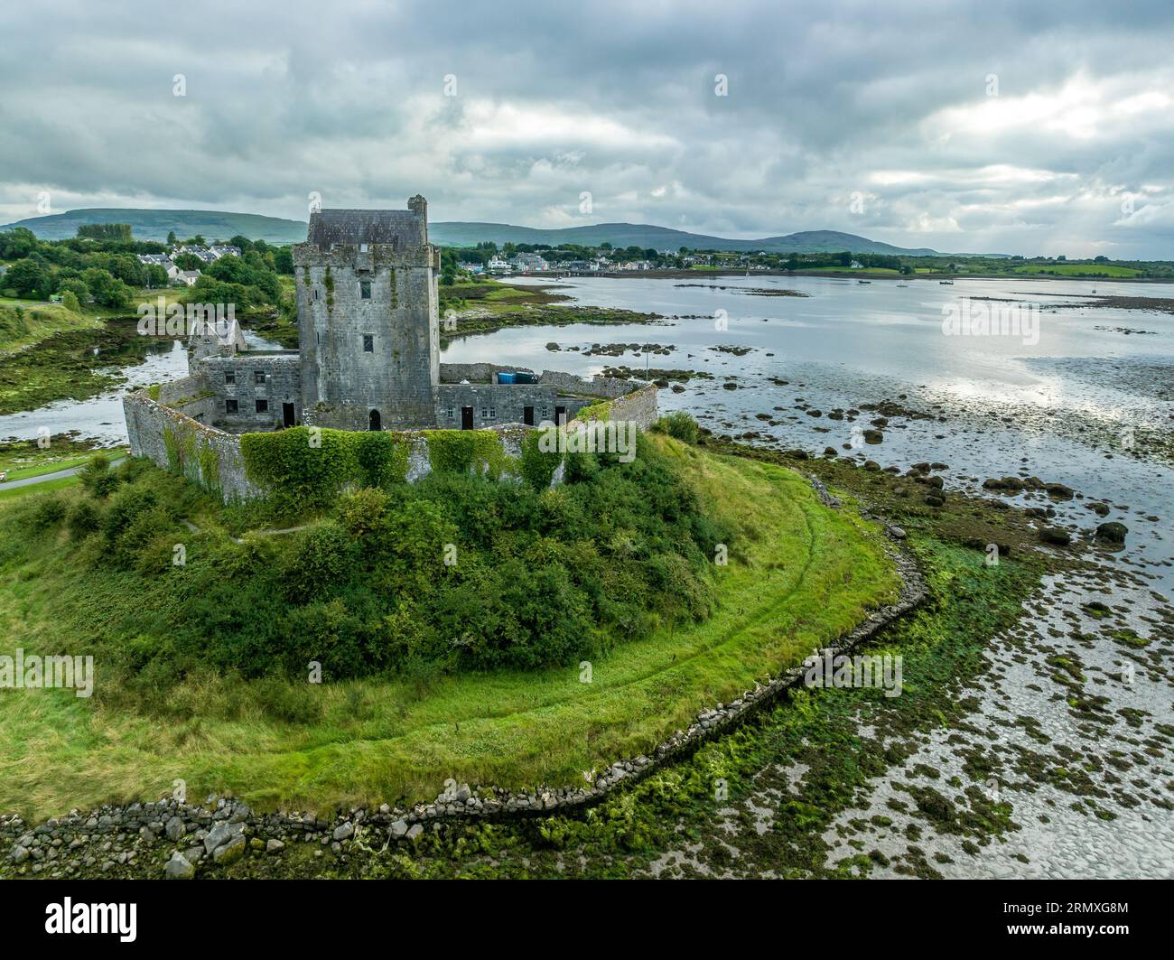 Man-made underground passage in BallymabillaMan-made underground passage · 1000 yd
 Enclosure in Treanbaun (kilconnell By.)Enclosure · 1484 yd
 Quarry in Ballintober WestQuarry · 1.1 mi
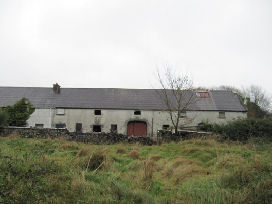 Eastwell Housefarmyard complex · 1.2 mi
 Site of Lisnamoltaun CastleCastle, unclassified · 2.1 mi
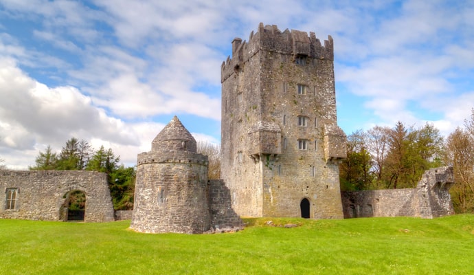 CastleCastle, unclassified · 2.3 mi
 Large-leaved LimeLarge-leaved Lime · 3.6 mi
 Western RedcedarWestern Redcedar · 3.9 mi
 Dartfield Horse MuseumHeritage attraction · 4.0 mi
 Kilconnell AbbeyHeritage attraction · 4.2 mi
 Battle of Aughrim Interpretative CentreMuseum · 5.5 mi
 Battle of AughrimMajor battlefield · 5.7 mi