What is recorded here
Fairy fort / earthen ringfort in Ballylusky (Magowry parish), Magowry is a fairy fort or earthen ringfort in Ballylusky (Magowry parish), Magowry, County Tipperary, Ireland. It occupies a gentle south-facing slope in improved pasture, preserving a level semi-circular interior measuring about 28 metres east-west and 20 metres north-south. A partially backfilled ditch defines the visible edge from east-southeast through south to west-southwest, while a townland boundary and deep land drain may have cut across the western sector.
In improved pasture, on a very gentle S-facing slope. An enclosure (TS062-029----) lies c. 300m to NW.The remains of a semi-circular area (dims. c. 28m E-W; 20m N-S), with a level interior, defined by a partially backfilled fosse (overall Wth 7.65m; basal Wth 3m; D 0.2m) from ESE-S-WSW. The monument is possibly truncated by a townland boundary and deep land drain across the W sector. When visited by Cahill (1982) a bank was also visible though it is described as being in very poor condition.
Compiled by: Jean Farrelly
Date of upload: 26 August 2011
The monument record does not grant public access. Check the route and ask the landowner before entering private land.
- What survives
- Recorded monument
Places near here
 ‘Magowry Church (in ruins)’Church · 508 yd
 CastleCastle, ringwork and bailey · 550 yd
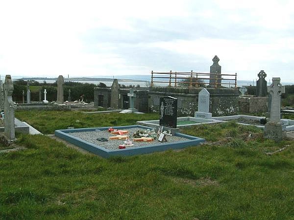 Enclosure in ShanakyleEnclosure · 717 yd
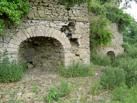 kilnkiln · 883 yd
 CrushshuvaunhenryCross, Wayside cross · 1047 yd
 Eagle HillMountain / peak · 1.2 mi
 (Site of) Drangan CastleCastle, unclassified · 1.7 mi
 Knockuragh HillMountain / peak · 2.1 mi
 Slieveardagh Heritage CentreVisitor information · 3.5 mi
 Fenane WoodForest · 4.2 mi
 Silver FirSilver Fir · 4.8 mi
 East GateMemorial · 5.3 mi