What is recorded here
Maol-lios, the Meelish Fort, is a flat ringfort in Ballyline West with an internal diameter of 37.7 metres. Its earthen bank rises 1.6 metres above the surrounding land and stretches two to four metres across at the base. The fort sits on high ground, commanding an extensive view of the county Kerry landscape. It remains a visible marker of human occupation on the open terrain.
Internal diameter 37.7m
Meelish Fort/Maol-lios (flat ringfort). This univallate rath is situated on high ground and has an extensive view of the surrounding land. It consists of a circular area enclosed by an earthen bank 1.6m above the surrounding land and .7m above the interior. The width of the bank at the base ranges from 2m-4m.
The above description is derived from C. Toal, ‘North Kerry Archaeological Survey’. Dingle. Brandon in association with FAS Training and Employment Authority (1995), no. 323. In certain instances the entries have been revised and updated in the light of recent research.
Date of upload: 2 August 2013
The monument record does not grant public access. Check the route and ask the landowner before entering private land.
- What survives
- Recorded monument
Places near here
 Meelish FortArchaeological place · 5 yd
 Megalithic structure in Ballyline WestMegalithic structure · 1011 yd
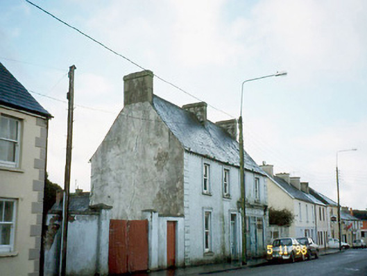 Ó Coileáinhouse · 1.4 mi
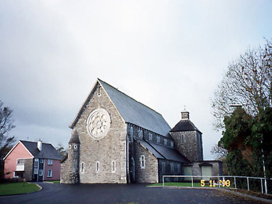 Catholic Church of Saint Michael the Archangelchurch/chapel · 1.4 mi
 Siege of Carrigafoyle Castlesiege · 3.1 mi
 CastleCastle, ringwork · 3.1 mi
 Carrigafoyle CastleCastle · 3.2 mi
 Carrig IslandIsland · 3.5 mi
 John B. Keane GroveMemorial · 5.3 mi
 Lartigue MonorailMuseum · 5.3 mi
 KnockanoreMountain / peak · 5.5 mi
 Statue of SchillerMemorial · 5.6 mi