What is recorded here
Coolbeg Fort in Ballyline West is a small earthen ring, twenty-four metres across, hidden in the corner of a field beside the Ballyline River. Its broken bank and shallow ditch suggest people once lived inside, perhaps marking house sites with the faint rectangular shadows still visible in the grass. The fort has no grand story recorded, but its quiet shape implies a family, a herd, or a seasonal camp that trusted the river and the land to keep them safe.
Internal diameter 23.6m N-S, 24.6m E-W
Coolbeg Fort/Cúil Bheag (small nook). The Ballyline River runs W of this site which is situated in the corner of a field. This univallate ringfort consists of a circular inner area enclosed by a bank and external fosse. The enclosing bank of earth and stone measures 1.1m above the fosse and on average .6m above the interior. The external fosse encloses the whole site except to the E where it is cut slightly by a fieldbank running N-S. The width of the fosse measures c 2m and .5m below the height of the surrounding land. The bank contains many breaks, but the main ones are to be noted NE, SW and NW, measuring c 3m, 2m and 2m respectively. The interior is at much the same level as the surrounding land, and two rectangular discolorations in the grass in the interior of the N sector could possibly mark house-sites.
The above description is derived from C. Toal, ‘North Kerry Archaeological Survey’. Dingle. Brandon in association with FAS Training and Employment Authority (1995), no. 259. In certain instances the entries have been revised and updated in the light of recent research.
Date of upload: 2 August 2013
The monument record does not grant public access. Check the route and ask the landowner before entering private land.
- What survives
- Recorded monument
Places near here
 Coolbeg FortArchaeological place · 11 yd
 Meelish FortArchaeological place · 1331 yd
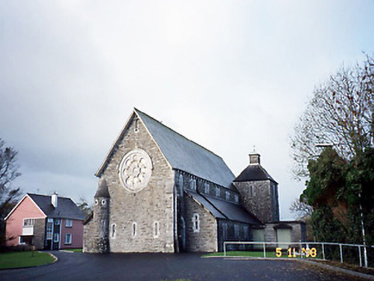 Catholic Church of Saint Michael the Archangelchurch/chapel · 1418 yd
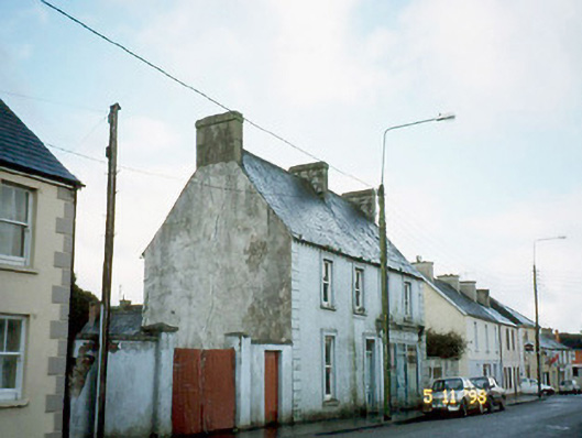 Ó Coileáinhouse · 1545 yd
 Siege of Carrigafoyle Castlesiege · 2.4 mi
 CastleCastle, ringwork · 2.4 mi
 Carrigafoyle CastleCastle · 2.5 mi
 Carrig IslandIsland · 2.8 mi
 KnockanoreMountain / peak · 5.2 mi
 Fawley's PointHeadland · 5.4 mi
 Scattery IslandIsland · 5.5 mi
 Ballymacrinan BayBay · 5.5 mi