What is recorded here
Clear in 2021 satellite imagery and marked on both 1840 and 1897 maps, the Ballylanders ringfort is a grassy circular enclosure about 36 metres across, bounded by a low bank and set in pasture near the Glennahaglish boundary. The 1840 survey counted it among three ancient forts in the townland, suggesting a small cluster of defended or occupied places rather than a lone curiosity. Its shape has survived ploughing, mapping and centuries of ordinary use, while the fairy-fort name reminds us that people once saw the boundary between human and hidden life drawn in earth.
In pasture, 255m NE of townland boundary with Glennahaglish. Depicted on the 1840 ed. OSi 6-inch map as an oval-shaped area defined by a scarp. Shown on the 1897 ed. OSi 25-inch map as a sub-circular shaped area (dims. c. 36m N-S; 37m E-W) enclosed by a bank. In 1840 the Ordnance Survey recorded this monument as one of ‘three ancient forts’ in the townland (OSNB Abbeyfeale to Bruree, 308). Monument visible as a circular-shaped area, enclosed by a tree-lined bank on Digital Globe orthoimage taken between 2011-13 and on Google Earth orthoimages.
See attached Google Earth orthoimages.
Compiled by: Fiona Rooney
Date of upload: 2 November 2021
The monument record does not grant public access. Check the route and ask the landowner before entering private land.
- What survives
- Recorded monument
Places near here
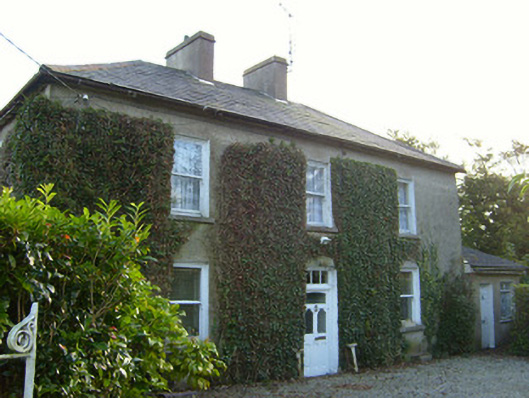 Glena Househouse · 343 yd
 Ballylanders Churchchurch/chapel · 426 yd
 Site of Castle, Castle FieldCastle, unclassified · 658 yd
 Partially hachuredEnclosure · 829 yd
 Grave YardGraveyard · 1019 yd
 Duntryleague - hachuredCastle, ringwork · 2.3 mi
 Duntryleague HillMountain / peak · 2.6 mi
 Darby's Bed Walk LoopWalking route · 2.6 mi
 SlievereaghMountain / peak · 2.8 mi
 Saint Patrick's WellSpring · 3.5 mi
 Assaroula WaterfallWaterfall · 4.0 mi
 Combaun WoodsViewpoint · 4.2 mi