What is recorded here
Clearance stones and forgotten bones People moved rocks from nearby fields and dumped them along the south edge, changing the shape of a place already older than memory. The fairy fort in Ballyknockane keeps its circular form beneath scrub, with a narrow eastern gap where entry still seems possible. Local memory says burial happened there, though no marker remains to prove it. What is left is a low ring, partly buried by growth and patience, waiting for someone to stop treating it as ordinary waste.
In tillage, at base of NW-facing slope. Roughly circular area (26m E-W; c. 30m N-S) enclosed by earth-and-stone bank (int. H 0.35m; ext. H 0.6m) NE->SSE, and defined by scarped edge (H 0.15m) SSE->WSW; enclosing element hidden by dense overgrowth WSW->NE. Field clearance stones have been dumped along foot of scarp at S and along external base of bank at NE. Gap in bank at E (Wth 2.1m). Interior covered by dense scrub. Site is depicted on 1841 OS 6-inch map as area planted with trees within demesne of Ballyknockane House. According to local information was once used as a burial ground.
Compiled by: Denis Power
Date of upload: 26 August 2011
See attached ASI aerial photographs ASIAP – taken on 04/03/2006.
The monument record does not grant public access. Check the route and ask the landowner before entering private land.
- What survives
- Recorded monument
Places near here
 Ballynahaha Housegates/railings/walls · 391 yd
 Burial Gd. for ChildrenChildren's burial ground · 967 yd
 Indicated (1924).Field boundary · 1.0 mi
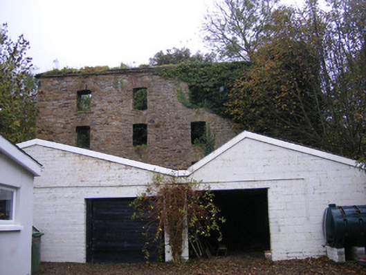 mill (water)mill (water) · 1.1 mi
 Famine stoneMemorial · 1.1 mi
 Castle (in ruins)Castle, tower house · 1.2 mi
 Lissamota CastleCastle · 1.2 mi
 KnockfeerinaMountain / peak · 1.4 mi
 Flat cemetery in Kiltenan SouthFlat cemetery · 2.4 mi
 Kinnoor WellSpring · 2.4 mi
 Dysert AenghusaHeritage attraction · 4.1 mi
 LaghtpatrickSpring · 4.5 mi