What is recorded here
An earthen ringfort in Ballyknock, County Carlow, Ireland, holds a subrectangular space forty-two metres wide where an old bank still stands beside a newer wall. Gaps appear at the northeast, east-southeast and southwest, yet the true entrance has vanished. The fort has become part of the surrounding field system, suggesting people lived there, left it, and returned to shape the land around it.
The following description is derived from the published 'Archaeological Inventory of County Carlow' (Dublin: Stationery Office, 1993). In certain instances the entries have been revised and updated in the light of recent research.
Date of upload/revision: 17 July 2007
Subrectangular area (max. Dim c. 42m WNW-ESE) incorporated into field system. Originally enclosed by bank extensively modified and in places replaced by wall. Gaps at NE, ESE and SW, but original entrance not identifiable.
A fairy fort, or earthen ringfort, in Ballyknock is a circular earthen enclosure typical of early-medieval Ireland, likely dating to between the 5th and 10th centuries. Local tradition associates such sites with the faé, and they were often avoided due to beliefs in their magical or supernatural significance.
The monument record does not grant public access. Check the route and ask the landowner before entering private land.
- What survives
- Recorded monument
Places near here
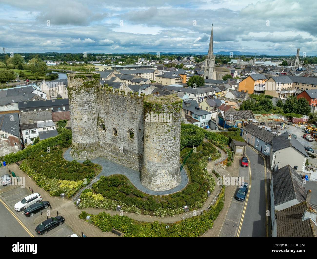 Enclosure in DranaghEnclosure · 1405 yd
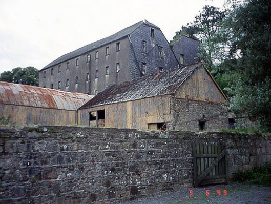 Saint Mullin's Millmill (water) · 1545 yd
 Church in St. Mullin'sChurch · 1558 yd
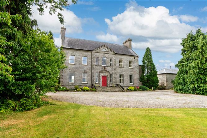 Enclosure in BallynalourEnclosure · 1571 yd
 Graveyard in St. Mullin'sGraveyard · 1629 yd
 St. Mullins MoatCastle, motte and bailey · 1732 yd
 Silver WattleSilver Wattle · 1.3 mi
 Pollmounty Castle (in Ruins)Castle, tower house · 1.5 mi
 The SpoutSpring · 1.6 mi
 Bahana WoodForest · 1.8 mi
 CarrigvahanaghMountain / peak · 1.9 mi
 1798 RebellionMemorial · 2.7 mi