What is recorded here
Fairy fort / earthen ringfort in Ballykinlalee is a fairy fort or earthen ringfort in Ballykinlalee, County Tipperary, Ireland. It occupies a southeast-facing slope beside another ringfort to the northeast. A slightly raised circular area 22 metres across from north to south is enclosed by an earth and stone bank 1.5 metres wide. The outer face of the bank reaches 2.5 metres high at the southeast. No entrance is visible, and the interior follows the natural slope from northwest to southeast.
Situated on a SE-facing slope of rising ground in an upland area with a nearby ringfort (TN031-036) to the NE. A slightly raised circular area (diam. 22m N-S) enclosed by an earth and stone bank (Wth 1.5m; int. H 0.5-1m; ext. H 0.8m at NW to 2.5m at SE) with no entrance feature visible. The interior follows the natural slope of ground from NW to SE.
The above description is derived from 'The Archaeological Inventory of County Tipperary. Vol. 1 - North Tipperary' compiled by Jean Farrelly and Caimin O'Brien (Dublin: Stationery Office, 2002). In certain instances the entries have been revised and updated in the light of recent research.
Date of upload/revision: 22 September 2008
The monument record does not grant public access. Check the route and ask the landowner before entering private land.
- What survives
- Recorded monument
Places near here
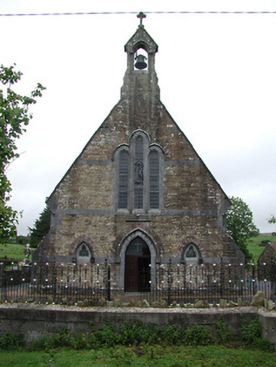 Saint Joseph's Catholic Churchchurch/chapel · 1651 yd
 Enclosure in Mackney (bourke)Enclosure · 1680 yd
 St. Conans WellHoly well · 1725 yd
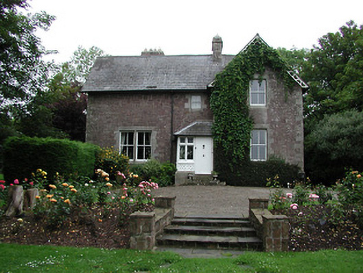 Glebe Houserectory/glebe/vicarage/curate's house · 1.6 mi
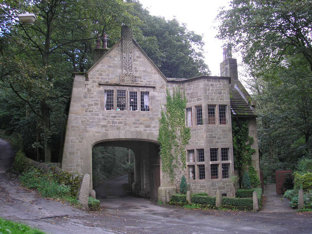 CastleCastle, tower house · 1.9 mi
 The Pollagh TrailNature reserve · 2.5 mi
 Doonan's HillMountain / peak · 3.1 mi
 Tower (in Ruins)Bawn · 3.4 mi
 Ballyhourigan WoodsForest · 3.8 mi
 Cast Iron BridgeHeritage attraction · 3.8 mi
 My Next AdventureHeritage attraction · 3.9 mi
 Brian Boru Heritage CentreVisitor information · 4.0 mi