What is recorded here
Half the fort is missing because the river took the west side. What remains is a broad bank and deep ditch forming roughly twenty-five metres of circle in Ballykilduff Lower. The entrance has vanished, perhaps washed out or buried under grass. A person may have lived inside, raised a fence, kept fire going through rain. The river does not care about borders or memory. It took what it wanted and left the rest for others to guess.
The following description is derived from the published 'Archaeological Inventory of County Carlow' (Dublin: Stationery Office, 1993). In certain instances the entries have been revised and updated in the light of recent research.
Date of upload/revision: 17 July 2007
W portion of ringfort has been eroded by adjacent river. Remaining portion suggests a circular area (diam. c. 25m) enclosed by single broad bank with deep external fosse. Entrance not identifiable.
A fairy fort or earthen ringfort in Ballykilduff Lower is a circular earthwork typical of early-medieval Ireland, likely dating to between the 5th and 10th centuries AD. Local tradition associates such sites with the supernatural, often referring to them as dwellings of the fairies or ancient royal or chieftain settlements.
The monument record does not grant public access. Check the route and ask the landowner before entering private land.
- What survives
- Recorded monument
Places near here
 Portal tomb in HaroldstownPortal tomb · 557 yd
 Haroldstown DolmenArchaeological place · 559 yd
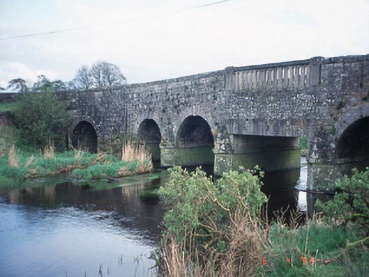 Acaun Bridgebridge · 608 yd
 Acaun Monastery (in ruins)Religious house, Augustinian friars · 848 yd
 Acaun Church (in ruins), GraveyardChurch · 961 yd
 Site of CastleCastle, unclassified · 1396 yd
 CastleCastle, unclassified · 1.1 mi
 Church (in ruins), GraveyardChurch · 2.5 mi
 European ashEuropean ash · 3.0 mi
 Rath WoodForest · 3.3 mi
 Eagle HillMountain / peak · 4.5 mi
 Ballycumber HillMountain / peak · 8.2 mi