What is recorded here
Fairy fort in Ballykenny, County Limerick: a partially levelled earthen ringfort, still visible as a roughly circular pasture area about thirty metres north-south and twenty-six metres east-west, with a low bank and a shallow external ditch running northeast to southwest. A road has cut through the ditch at the southwest, and modern work has re-cut part of it, dumping spoil onto the bank. The interior remains level under grass, perhaps hiding rooms, hearths or buried walls that pasture and forgetting have smoothed away.
In level pasture. Enclosure has been partially levelled and incorporated into pasture field. However, it is still evident as roughly circular area (30m N-S; 26m E-W) enclosed by earthen bank (int. H 0.3m; ext. H 0.15m), with external fosse (D 0.15m; Wth 0.6m) NE->SW. Fosse recently re-cut, and spoil dumped on bank, NW->NE. Road truncates fosse SW->NW. Interior is level and under pasture.
Compiled by: Denis Power
Date of upload: 26 August 2011
The monument record does not grant public access. Check the route and ask the landowner before entering private land.
- What survives
- Recorded monument
Places near here
 Church (in ruins)Church · 1393 yd
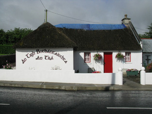 An Tigh Bothántaíochtahouse · 1543 yd
 Enclosure in CamasEnclosure · 1569 yd
 Dotted outlineBawn · 1682 yd
 Glenquin CastleCastle · 1.0 mi
 Moated site in ArranaghMoated site · 1.0 mi
 Saint Ite's WellSpring · 1.1 mi
 Ballagh MountainMountain / peak · 2.0 mi
 TobereenalaffinaSpring · 3.7 mi
 Barnagh HillMountain / peak · 4.1 mi
 Limerick GreenwayWalking route · 4.9 mi
 Mullaghareirk - Banane LoopWalking route · 5.9 mi