What is recorded here
Fairy fort in Ballykeel North, Ballyshanny: a circular earthen rath about 23 metres across, set in a hollow on a south-facing slope above a boggy shelf. Its bank and scarp still mark the circle, though field drains and quarry faces have cut through the east and south. People may have lived, hidden or tended pasture there before the land was taken for drainage and stone. The fairies keep what remains.
In a hollow on a S-facing slope in rough pasture and rushes, with a flat boggy shelf immediately to the S and a shallow fold to the NW. This circular rath (22.8m E-W; c. 22.4m N-S) is defined from W to NE by a scarp (H 0.4m) and elsewhere intermittently by a bank (Wth 4.6m; int. H 0.3m; ext. H 0.6m). The E side (L 15m) and S side are truncated by field drains and there are several quarry faces (max. H 1.5m) along the S perimeter.
Compiled by: Mary Tunney and Conn Herriott
Date of upload: 11 July 2022
The monument record does not grant public access. Check the route and ask the landowner before entering private land.
- What survives
- Recorded monument
Places near here
 Drimneen FortFairy fort / earthen ringfort · 355 yd
 Roughan Castle (Supposed Site of)Castle, unclassified · 856 yd
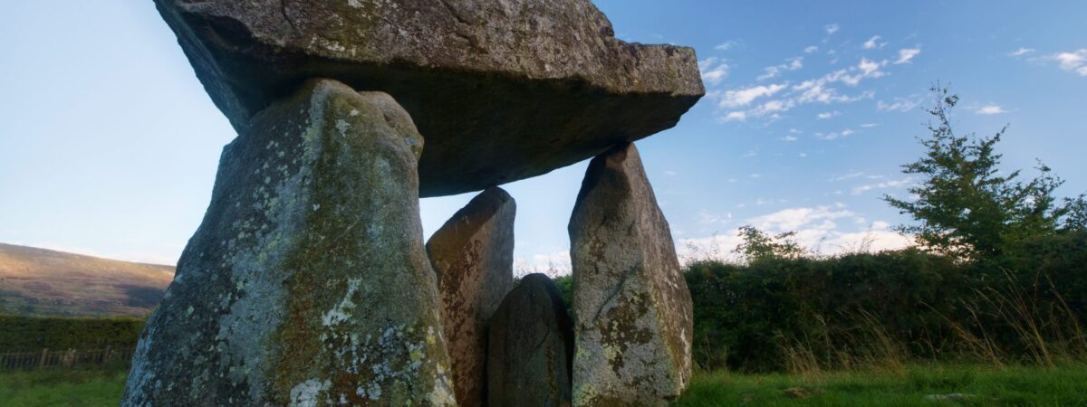 Ballykeel FortFairy fort / earthen ringfort · 867 yd
 Ballyshanny Housefarm house · 1010 yd
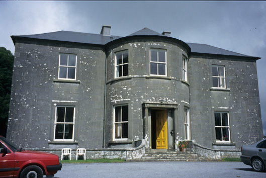 Ballykeel Housecountry house · 1345 yd
 High CrossHeritage attraction · 1.2 mi
 CashlaunawoggaCastle, tower house · 1.2 mi
 Burren Centre KilfenoraVisitor information · 1.2 mi
 Ballyteigue Nature ReserveNature reserve · 2.4 mi
 Cahermacnaghten CashelHeritage attraction · 2.7 mi
 Cullaun 5 (C5b)Cave · 3.1 mi
 Cullaun 5 (C5)Cave · 3.2 mi