
What is recorded here
At the top of a hill with wide views in all directions, the land falls most dramatically to S. Hachured and labelled ‘Drimneen Fort’ on the 1842 and 1920 eds. of the OS 6-inch map. Marked and labelled ‘Drimneen Fort (Droimnín)’ on Robinson’s map (1977). Listed as ‘Enclosure’ in the RMP (1996). This oval rath (max. dims. 42.7m NW-SE; 35m NE-SW) is defined by an earthen bank (Wth 4m; int. H 0.5-1.2m; ext. H 1-1.4m) from W to N to E, interrupted at NNW by an oval depression (8m NE-SW; 5m NW-SE) in which rushes are growing. From E to W to S, it is defined by a scarp (H 1-1.2m). Drystone walls (H 0.2-0.6m; Wth 0.4m) and associated stone spill overlie the perimeter, except from W to NNW. The interior slopes to the SE. Two gaps in the bank, one at W (Wth 1.6m), which is blocked by a drystone wall, and another at SE (Wth 5m) are not original features.
Compiled by: Olive Alcock and Conn Herriott
Date of upload: 25 May 2022
Drimneen Fort, Ballykeel North is a ringfort, likely dating to the early medieval period, situated on a prominent hilltop with strategic views. It is associated with local folklore referring to it as a fairy fort, reflecting the common Irish tradition linking such sites to supernatural beings.
The monument record does not grant public access. Check the route and ask the landowner before entering private land.
- What survives
- Recorded monument
Places near here
 Roughan Castle (Supposed Site of)Castle, unclassified · 813 yd
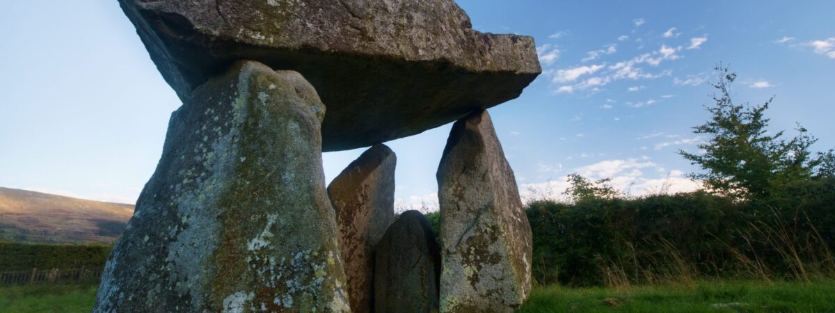 Ballykeel FortFairy fort / earthen ringfort · 1134 yd
 Ballyshanny Housefarm house · 1352 yd
 Kiltennan FortFairy fort / earthen ringfort · 1541 yd
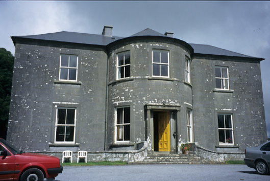 Ballykeel Housecountry house · 1668 yd
 High CrossHeritage attraction · 1.4 mi
 CashlaunawoggaCastle, tower house · 1.4 mi
 Burren Centre KilfenoraVisitor information · 1.4 mi
 Ballyteigue Nature ReserveNature reserve · 2.3 mi
 Cahermacnaghten CashelHeritage attraction · 2.5 mi
 Cullaun 5 (C5b)Cave · 2.9 mi
 Cullaun 5 (C5)Cave · 3.0 mi
Other information
Photo: Credit not shown in the picture search · Rights wording not checked; contact us if this picture should be removed