What is recorded here
Situated on low lying wet grassland. Ringfort (WM011-094----) and mill race 100m to SW. Depicted on the 1837 OS Fair Plan as a circular enclosure and annotated as a ‘fort’. Depicted as circular shaped enclosure on the 1837 ed. OS 6-inch map but not on the revised 1911 ed. OS 25-inch map. Ringfort was levelled between these two dates. All that remains are vague suggestions of a circular scarp (approx. diam 37m NE-SW; H 1.4m). The perimeter is intersected by a drain running NNE-SSW and bank at NE.
Compiled by: Frank Coyne and Caimin O'Brien
Date of upload: 24 August 2017
The monument record does not grant public access. Check the route and ask the landowner before entering private land.
- What survives
- Recorded monument
Places near here
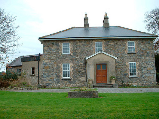 Grange Hallhouse · 505 yd
 Partially hachuredFairy fort / earthen ringfort · 655 yd
 Fulacht fia in BalroeFulacht fia · 832 yd
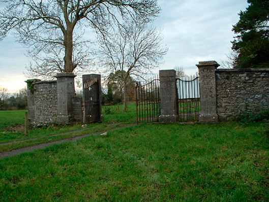 Tristernagh Housedemesne walls/gates/railings · 1.1 mi
 CastleCastle, tower house · 1.3 mi
 Baronstown ForestWood · 1.5 mi
 Site of Castle, Castle FieldCastle, unclassified · 1.6 mi
 Horse-chestnutHorse-chestnut · 1.6 mi
 Craft WorkshopHeritage attraction · 8.7 mi
 Guest ServicesVisitor information · 8.8 mi
 Newcastle WoodsForest · 9.4 mi
 Cromeens WellHoly well · 861 yd