What is recorded here
Fairy fort in Ballyhooly North is a ruined earthen ring, not a fantasy claim. It stands in a meadow beside a disused railway line, its south bank still rising eighty centimetres above the ground. The rest has surrendered to grass, soil and time. What remains is enough to show the shape of a place people made, defended or forgot.
In meadow, on gentle N-facing slope c. 30m S of disused railway line. Depicted as hachured circular raised area (diam. c. 30m) on 1935 OS 6-inch map. Arc formed by earthen bank (int. H 0.8m) and external fosse (D 0.6m) survives to S, representing one third of enclosure. Bank planted with deciduous trees.
The above description is derived from the published 'Archaeological Inventory of County Cork. Volume 4: North Cork' (Dublin: Stationery Office, 2000). In certain instances the entries have been revised and updated in the light of recent research.
Date of upload/revision: 14 January 2009
The monument record does not grant public access. Check the route and ask the landowner before entering private land.
- What survives
- Recorded monument
Places near here
 Enclosure in Ballyhooly NorthEnclosure · 195 yd
 bridgebridge · 535 yd
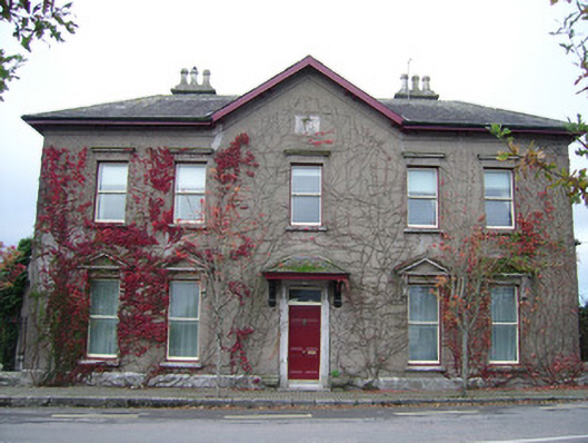 The Mansionhouse · 692 yd
 Enclosure in ConvaEnclosure · 924 yd
 Blackwater (Avondhu) WayWalking route · 1069 yd
 Ballyhooly CastleCastle · 1101 yd
 Priest's WoodForest · 1.1 mi
 Johnson's WoodForest · 1.1 mi
 Castle (in Ruins)Castle, unclassified · 1.3 mi
 Knocknaskagh North TopMountain / peak · 2.8 mi
 Liam BurkeMemorial · 2.8 mi
 Graveyard in BoherashGraveyard · 3.4 mi