What is recorded here
Fairy fort in Ballyhoolivan, County Longford: a subcircular earth-and-stone ring on a small rise above flat pasture, marked ‘Fort’ on the 1837 Ordnance Survey map. By 1975 only a low western arc remained, and that arc has since been levelled, so the rath no longer shows at ground level. What is left is a hidden shape in memory: a place for keeping livestock, sheltering people, or being told to belong to fairies, depending on who spoke and when.
On a rise in otherwise level, low-lying pasture. Depicted as a subcircular enclosure with the designation 'Fort' on the 1837 ed. of the OS 6-inch map. A report in 1975 (SMR file) recorded that the only extant remains comprised a low bank of earth and stone extending in an arc from WSW-W-N. This bank has since been levelled and the rath is not visible at ground level.
Compiled by: Patrick F. O'Donovan
Date of upload: 26 August 2011
The monument record does not grant public access. Check the route and ask the landowner before entering private land.
- What survives
- Recorded monument
Places near here
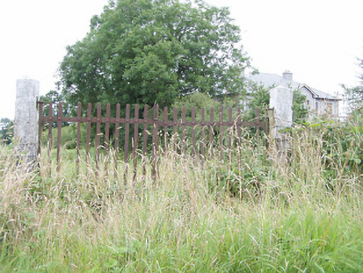 gates/railings/wallsgates/railings/walls · 669 yd
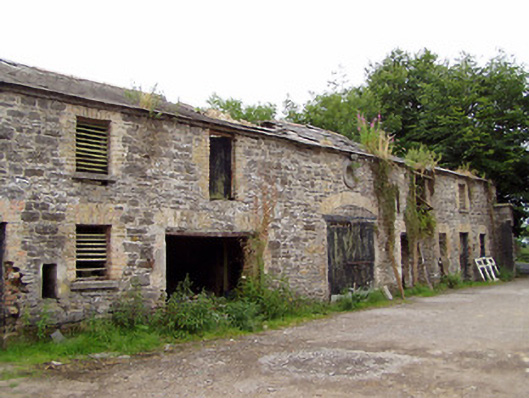 Moatfarrell Houseoutbuilding · 771 yd
 Field system in MoatfarrellField system · 1026 yd
 IndicatedBawn · 1030 yd
 Moat & CastleCastle, motte and bailey · 1035 yd
 Enclosure in LisnanaghEnclosure · 1207 yd
 Oldtown DemesneForest · 2.6 mi
 Oldtown CopseWood · 2.7 mi
 Edgeworthstown BypassMemorial · 3.0 mi
 Bully's Acregraveyard/cemetery, unknown · 3.6 mi
 Clonfin Ambush MemorialMemorial · 3.9 mi
 National Famine WayWalking route · 6.4 mi