What is recorded here
Fairy fort in Ballyhoolivan, County Longford: a low hillock in rolling pasture where a 1975 report measured a subcircular rath about 45m by 44m, bounded by earth, stone and an outside ditch, with rock exposing itself at the centre. The entrance may have faced NNE or NNW, but the rath has largely sunk from sight, leaving only grass, memory and the shape of old hands beneath the surface.
On a low hillock in rolling pasture. A report in 1975 (SMR file) recorded a raised subcircular area (c. 45m NW-SE; c. 44m NE-SW) enclosed by a low bank of earth and stone with an external fosse. The original entrance may have been either at NNE or NNW. At the centre of the interior was an area of outcropping rock. The rath is not visible at ground level.
Compiled by: Patrick F. O'Donovan
Date of upload: 26 August 2011
The monument record does not grant public access. Check the route and ask the landowner before entering private land.
- What survives
- Recorded monument
Places near here
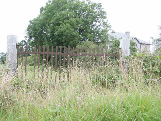 gates/railings/wallsgates/railings/walls · 469 yd
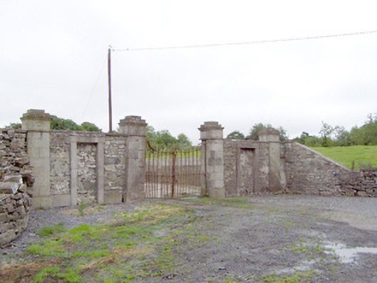 Newtownbond Housegates/railings/walls · 898 yd
 Moat & CastleCastle, motte and bailey · 1212 yd
 Field system in MoatfarrellField system · 1218 yd
 IndicatedBawn · 1227 yd
 Enclosure in LisnanaghEnclosure · 1538 yd
 Oldtown DemesneForest · 2.7 mi
 Oldtown CopseWood · 2.8 mi
 Bully's Acregraveyard/cemetery, unknown · 3.4 mi
 Clonfin Ambush MemorialMemorial · 3.9 mi
 National Famine WayWalking route · 6.4 mi
 Graveyard in Curry (ardagh By., Coolamber Ed)Graveyard · 7.1 mi