What is recorded here
Fairy fort in Ballyhoolahan West, County Cork, is a circular earthen ringfort about 31.5m across on a south-facing pasture slope. Its western edge still stands as a roadside fence over a metre high, while the rest has flattened into a low rise after field boundary work around 1982. Locals have always called it the site of a fort, yet its shallow, hidden shape invites a stranger claim: that it is a threshold where the ordinary field thins and something older watches back.
In pasture, on S-facing slope. Indicated on 1904 and 1937 OS 6-inch maps as curve in roadside fence W->NNW and in field boundary NNW->NE. Circular area (c. 31.5m N-S; 31.5m E-W) defined by earthen roadside fence (int. H 1.15m) W->NNW; low rise elsewhere. Field boundary levelled c. 1982. Locally known as site of fort.
The above description is derived from the published 'Archaeological Inventory of County Cork. Volume 4: North Cork' (Dublin: Stationery Office, 2000). In certain instances the entries have been revised and updated in the light of recent research.
Date of upload/revision: 14 January 2009
The monument record does not grant public access. Check the route and ask the landowner before entering private land.
- What survives
- Recorded monument
Places near here
 Man-made underground passage (Site of)Man-made underground passage · 1406 yd
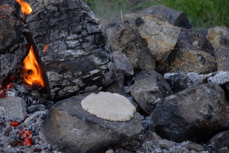 Fulacht FiadhFulacht fia · 1665 yd
 Wood ViewCountry house · 1.8 mi
 Drominagh Castle (Site of)Castle, unclassified · 2.2 mi
 Castle McAuliffe (Site of)Castle, unclassified · 2.4 mi
 Mine in Drominagh SouthMine · 2.5 mi
 Battle of Knocknaclashybattle · 5.1 mi
 Stanner's Glen, Priory WoodWood · 5.3 mi
 Kanturk CastleHeritage attraction · 5.5 mi
 St Fursey's WellSpring · 7.1 mi
 Burial ground in AssolasBurial ground · 8.0 mi
 RowanRowan · 8.2 mi