What is recorded here
Fairy fort in Ballyhimock, a 32m earthen ring with eastern entrance, still marks the crest of a south-facing slope in County Cork. It sits within an older field system, half swallowed by tillage but still readable in aerial shadow. People may have lived there, fenced it, forgotten it, or feared it. The earth keeps its shape regardless of belief.
In tillage, on crest of S-facing slope. Circular area (32m N-S) defined by low rise (H 0.4m). Circular enclosure visible in aerial photograph (CASAP) as cropmark of fosse with entrance to E. Within field system (CO026-193---); circular enclosure (CO026-151---) c. 260m to NW.
The above description is derived from the published 'Archaeological Inventory of County Cork. Volume 4: North Cork' (Dublin: Stationery Office, 2000). In certain instances the entries have been revised and updated in the light of recent research.
Date of upload/revision: 14 January 2009
The monument record does not grant public access. Check the route and ask the landowner before entering private land.
- What survives
- Recorded monument
Places near here
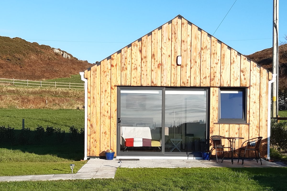 Enclosure in BallyhimockEnclosure · 319 yd
 Field system in BallyhimockField system · 799 yd
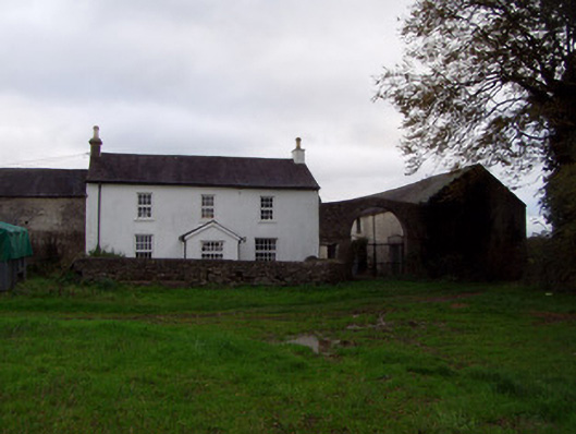 Home Farmfarmyard complex · 1344 yd
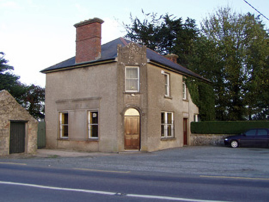 Griffin'shouse · 1560 yd
 Anne's Grove GardensHeritage attraction · 1.3 mi
 Shanballymore Castle (Site of)Castle, unclassified · 1.5 mi
 Ruane Castle (Site of)Castle, unclassified · 2.3 mi
 Pedunculate OakPedunculate Oak · 3.4 mi
 Scots PineScots Pine · 3.6 mi
 Smith's WellSpring · 4.5 mi
 Flat cemetery in Ballyenahan NorthFlat cemetery · 4.7 mi
 Blackwater (Avondhu) WayWalking route · 4.8 mi