What is recorded here
Located on a S-facing slope. The faint cropmark of a circular enclosure (dims c. 36m E-W; c. 32m N-S) defined by a fosse is visible on Google Earth (14/07/2018). An outer fosse feature is also visible NE-S-SW (diam. c. 50m NE-SW) and the perimeter at N is incorporated into a mapped field bank, now visible as a parch mark. Suggestions of the enclosure are represented on the 1839 edition of the OS 6-inch map but there is no cropmark evidence of the houses represented on that map. It was first reported by Jean Charles Caillere.
Compiled by: Michael Moore
Date of upload: 18 September 2019
The monument record does not grant public access. Check the route and ask the landowner before entering private land.
- What survives
- Recorded monument
Places near here
 IndicatedFairy fort / earthen ringfort · 247 yd
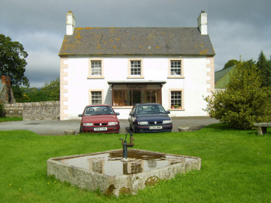 farm housefarm house · 642 yd
 Killeen (in Ruins)Church · 714 yd
 Site of ChapelChurch · 1409 yd
 1798 MemorialMemorial · 1.5 mi
 Ruin of a small castleRuins · 1.8 mi
 Killoughrum ForestForest · 2.8 mi
 SlievebaunMountain / peak · 3.7 mi
 White MountainMountain / peak · 4.9 mi
 Wilton Ho.Castle, unclassified · 5.7 mi
 Pedunculate OakPedunculate Oak · 5.9 mi
 Dick Joynt MemorialMemorial · 6.8 mi