What is recorded here
Fairy fort / earthen ringfort in Ballyheean is a subcircular rath on a south-facing pasture slope in County Clare, with a low bank, marshy ditch and slightly dished interior. The townland boundary wall bends east to avoid it, as if the fort still owns its own shape. Cattle may walk past without knowing they are grazing the edge of an older neighbourhood.
On a S-facing pasture slope, overlooked by higher ground to the N. Identified in 1998 by Markus Casey. This subcircular rath (27m E-W; 25.5m N-S) is defined by a low scarp (H 0.15-0.3m), and a marshy outer fosse (Wth 2.25-4.5m; D 0.15m below external ground surface) from NE-S-W. Traces of a second, outer bank (Wth 2-4m; H 0.1m) survive from S-W. The raised interior is slightly dished. Some 15m to the E, the N-S running townland boundary wall between Ballyheean and Ballyvorda (to the E) angles sharply E to avoid crossing the monument.
Compiled by: Gearóid Conroy and Conn Herriott
Date of upload: 6-10-2025
The monument record does not grant public access. Check the route and ask the landowner before entering private land.
- What survives
- Recorded monument
Places near here
 Enclosure in CaherycahillEnclosure · 941 yd
 IndicatedFairy fort / earthen ringfort · 983 yd
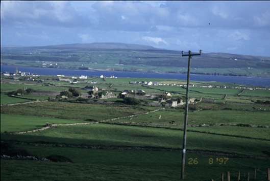 Birchfield Housegates/railings/walls · 1139 yd
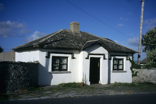 Seamount Housegate lodge · 1189 yd
 John P. Holland CentreMuseum · 1324 yd
 Liscannor Castle (in Ruins)Castle, tower house · 1706 yd
 Bridget's Well;St Bridget's WellSpring · 1.1 mi
 Lahinch BeachBeach / strand · 1.9 mi
 Cliffs of Moher Visitor CentreVisitor information · 2.0 mi
 Dough CastleRuins · 2.0 mi
 Cliffs of MoherCliff · 2.3 mi
 Sea StackMountain / peak · 2.3 mi