What is recorded here
Fairy forts are human ringforts misnamed by modern fantasy, and Ballyhander is no exception. Its earth bank and outer ditch marked a real dwelling place, likely farmed or lived in for generations before ploughs and development took it apart. What remains is a shallow curve in pasture, but the shape still records that people stood there, built there, and belonged there long before the fairy label arrived.
In pasture, below crest of ridge. Shown on 1842 and 1902 OS 6-inch maps as circular enclosure (diam. c. 40m). Levelled; bank survives WNW->NNE (int. H 1m; ext. H 1.7m). External fosse visible as depression to NNE. Spread of stone in interior.
The above description is derived from the published 'Archaeological Inventory of County Cork. Volume 2: East and South Cork' (Dublin: Stationery Office, 1994). In certain instances the entries have been revised and updated in the light of recent research.
Date of upload/revision: 14 January 2009
The monument record does not grant public access. Check the route and ask the landowner before entering private land.
- What survives
- Recorded monument
Places near here
 farm housefarm house · 239 yd
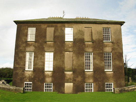 Ballywilliamcountry house · 1703 yd
 Kilgobbin CastleCastle · 1.0 mi
 The Moving StatueHeritage attraction · 1.0 mi
 Man-made underground passage in Gortnacrusha NorthMan-made underground passage · 1.1 mi
 Man-made underground passage in KilgobbinMan-made underground passage · 1.2 mi
 Ballycatteen WoodWood · 1.4 mi
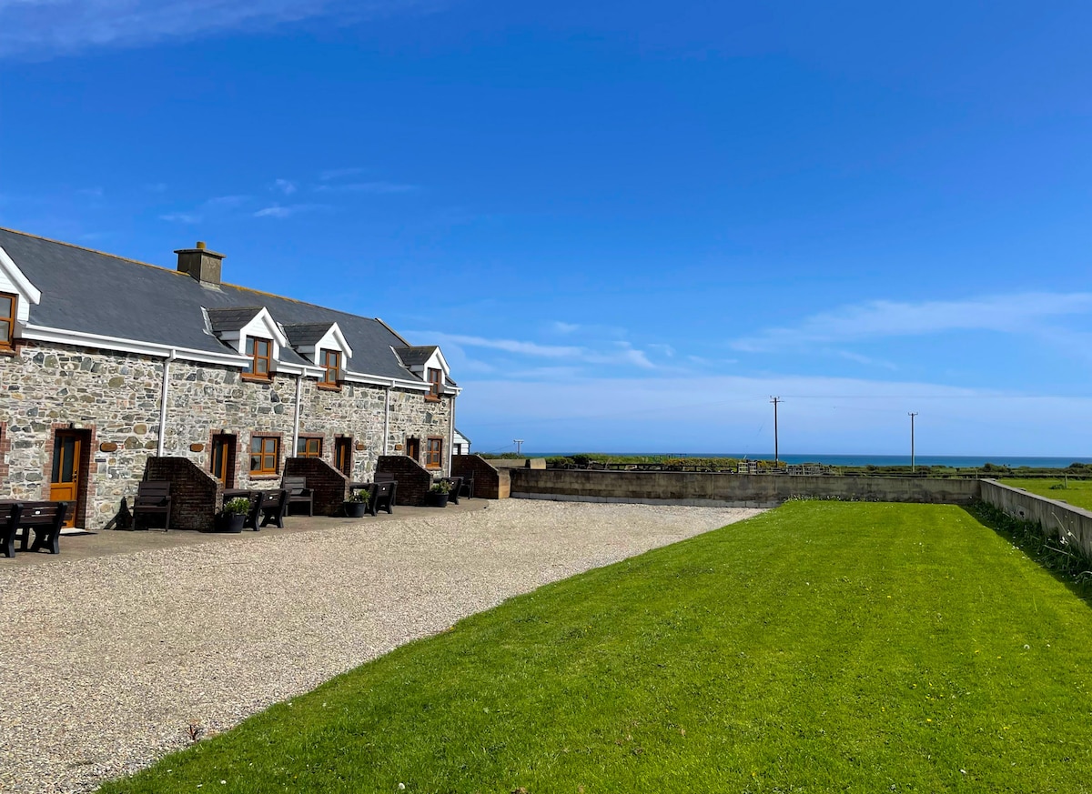 Kilmore WoodWood · 1.8 mi
 Ringfinnan 9/11 Garden of RemembranceMemorial · 1.9 mi
 White Castle (in Ruins)House, fortified house · 2.0 mi
 Ballinadee Millenium ProjectPicnic place · 2.1 mi
 Olympic MemorialMemorial · 2.2 mi