What is recorded here
Fairy forts are often called forts because they look like abandoned military works, but the name preserves the older belief that they belong to hidden people. This is a real ringfort in Ballyhahill, County Limerick, with two earthen banks and a grassy ditch between them. The measurements and broken edge are facts; the fairy part is the story the land kept after the humans stopped naming it.
In pasture, on N-facing slope. Circular area (26m N-S; 27m E-W) enclosed by two concentric earthen banks with intervening fosse (Wth 4m). Both inner bank (int. H 0.5m; ext. H 2.1m) and outer bank (int. H 0.95m; ext. H 0.95m) overgrown with trees and bushes as is much of interior. Field boundary overlies outer bank E->SE; second field boundary abuts outer bank at NW. Break in outer bank NE->E appears to be recently made.
Compiled by: Denis Power
Date of upload: 26 August 2011
The monument record does not grant public access. Check the route and ask the landowner before entering private land.
- What survives
- Recorded monument
Places near here
 Scoil Naomh Mhuireschool · 233 yd
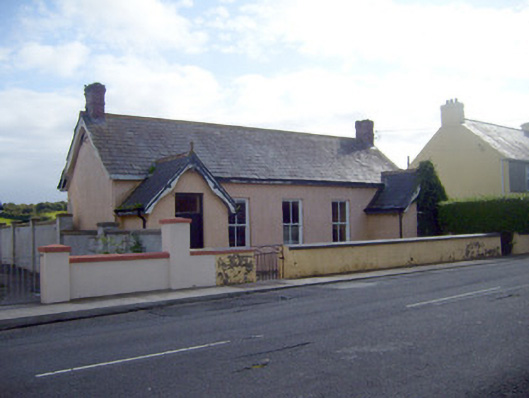 Ballyhahill Carnegie Librarylibrary/archive · 598 yd
 Cliff-edge fort in MohernaghCliff-edge fort · 1084 yd
 Cliff-edge fort in FinnooCliff-edge fort · 1.0 mi
 TobercloonaghSpring · 1.1 mi
 Prospect HillMountain / peak · 1.7 mi
 Loghill HoCastle, unclassified · 2.8 mi
 Castle (Site of)Castle, unclassified · 2.9 mi
 Monterey CypressMonterey Cypress · 3.9 mi
 Mountshannon PointHeadland · 4.1 mi
 Mountshannon WoodWood · 4.2 mi
 Killanna PointHeadland · 4.6 mi