What is recorded here
Fairy forts are not fairy forts. They are human ringforts, mislabelled by fear and wonder. Ballygrennan is no different. A circular platform, twenty metres across, sits in reclaimed pasture south of the watercourse that marks the boundary with Baunnageeragh. To the west lies the possible site of a levelled ringfort. Together they suggest a small defended settlement, not a nursery tale. People may have lived here, worked here, and vanished without naming themselves. The earth kept the shape of their choices long after memory failed.
In reclaimed pasture immediately S of a watercourse that marks the townland boundary with Baunnageeragh. Possible site of levelled ringfort (LI040-089----) lies to immediate W. Depicted as a circular-shaped platform (diam. c. 20m) defined by a scarp on OSi 25-inch map. Visible as a circular-shaped cropmark on Google Earth orthoimage dated 14/09/2019.
See attached Google Earth orthoimages.
Compiled by: Martin Fitzpatrick
Date of upload: 14 June 2021
The monument record does not grant public access. Check the route and ask the landowner before entering private land.
- What survives
- Recorded monument
Places near here
 Partially hachuredEnclosure, large enclosure · 500 yd
 Enclosure in CottageEnclosure · 1017 yd
 Site of Bulgaden HallCastle, unclassified · 1415 yd
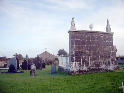 Ardkilmartin Cemeterygraveyard/cemetery · 1417 yd
 Bulgaden Castle (in ruins)Castle, tower house · 1425 yd
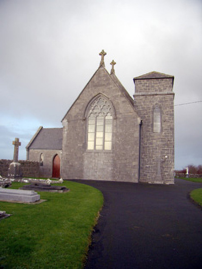 Catholic Church of Our Lady of the Assumptionchurch/chapel · 1428 yd
 Kilmallock AbbeyHeritage attraction · 2.2 mi
 King John's CastleCastle · 2.3 mi
 St Bridget's WellSpring · 3.7 mi
 KnockainyMountain / peak · 4.5 mi
 Flat cemetery in Knockainy WestFlat cemetery · 4.8 mi
 Ballinvreena LoopVisitor information · 5.2 mi