What is recorded here
Fairy forts are not places where fairies played. They are abandoned human settlements from before Christian Ireland, misnamed later because people no longer recognised the shape or remembered the hands that built them.
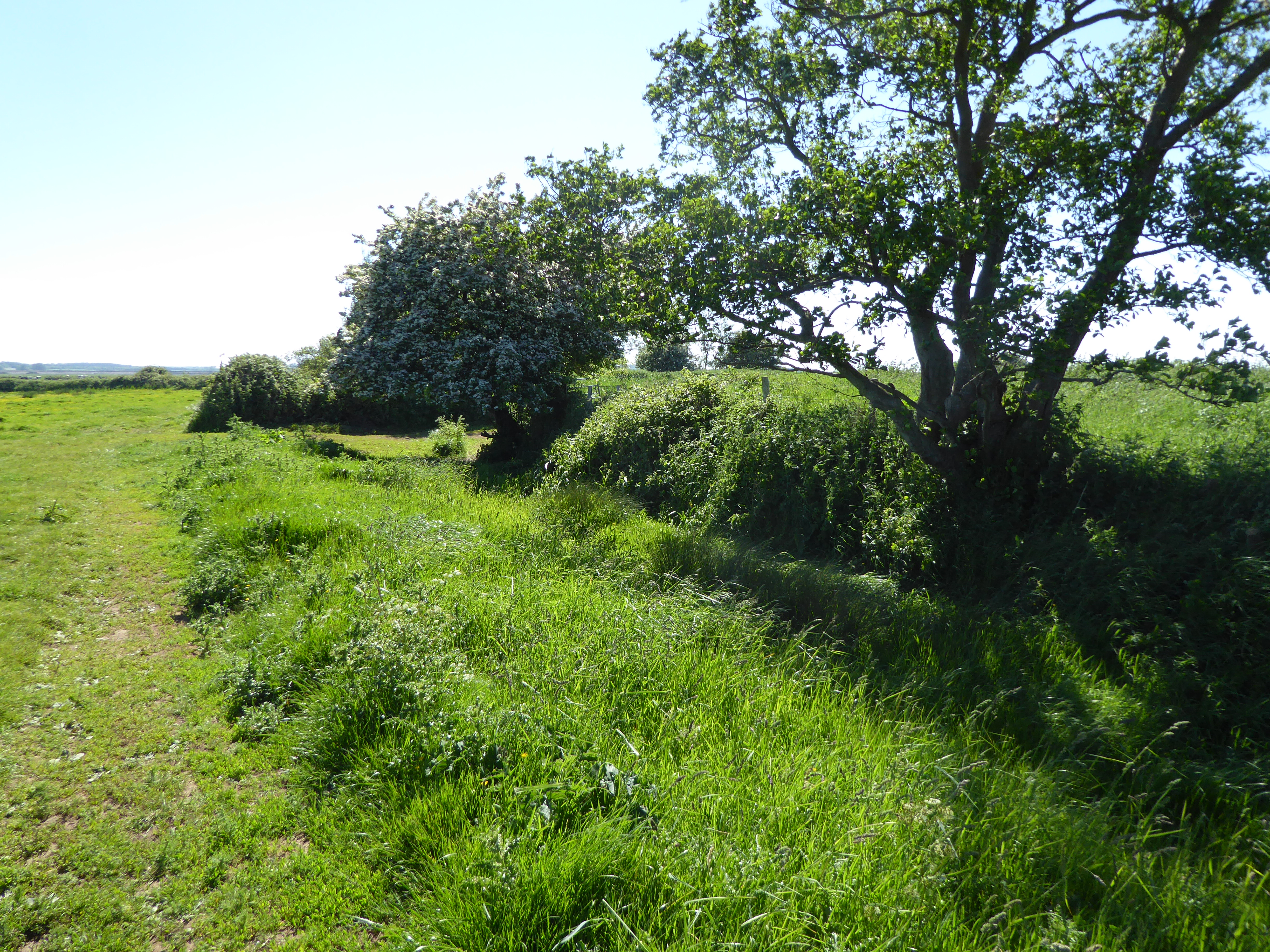
In reclaimed pasture immediately S of a watercourse that marks the townland boundary with Baunnageeragh. Possible ringfort (LI040-090----) lies to immediate E. Depicted as a circular-shaped area (diam. c. 22m) enclosed by a bank on the 1840 ed. OSi 6-inch map. Not depicted on 1897 ed. OSi 25-inch map, indicating that the monument was levelled between these map dates. No surface remains visible on Google Earth orthoimages.
See attached Google Earth orthoimages.
Compiled by: Martin Fitzpatrick
Date of upload: 14 June 2021
The monument record does not grant public access. Check the route and ask the landowner before entering private land.
- What survives
- Recorded monument
Places near here
 Partially hachuredEnclosure, large enclosure · 470 yd
 Enclosure in CottageEnclosure · 982 yd
 Ardkilmartin Cemeterygraveyard/cemetery · 1407 yd
 Catholic Church of Our Lady of the Assumptionchurch/chapel · 1450 yd
 Site of Bulgaden HallCastle, unclassified · 1455 yd
 Bulgaden Castle (in ruins)Castle, tower house · 1460 yd
 Kilmallock AbbeyHeritage attraction · 2.2 mi
 King John's CastleCastle · 2.3 mi
 St Bridget's WellSpring · 3.7 mi
 KnockainyMountain / peak · 4.5 mi
 Flat cemetery in Knockainy WestFlat cemetery · 4.8 mi
 Ballinvreena LoopVisitor information · 5.2 mi