What is recorded here
Fairy fort / earthen ringfort in Ballygibbon, Graigue (Ballygibbon parish) is a fairy fort or earthen ringfort in Ballygibbon, Graigue (Ballygibbon parish), County Tipperary, Ireland. The circular enclosure sits on a south-facing slope, split by a north-south townland boundary. The east half preserves a low earth and stone bank about 1.5 metres wide around a 27 metre north-south diameter, while the west half has been levelled for a golf course tee.
Located on a S-facing slope with the E half in rough pasture and the W half on a golf course. Indicated on both 1st and 2nd ed. OS 6-inch maps as a circular enclosure, bisected on a N-S axis by a townland boundary. The E half of the enclosure (diam. c. 27m N-S) is defined by a low earth and stone bank (Wth c. 1.5m), overgrown with scrub. The W half has been levelled and the area landscaped to provide a tee on a golf course. The interior slopes to the S.
The above description is derived from 'The Archaeological Inventory of County Tipperary. Vol. 1 - North Tipperary' compiled by Jean Farrelly and Caimin O'Brien (Dublin: Stationery Office, 2002). In certain instances the entries have been revised and updated in the light of recent research.
Date of upload/revision: 22 September 2008
The monument record does not grant public access. Check the route and ask the landowner before entering private land.
- What survives
- Recorded monument
Places near here
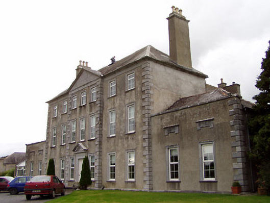 Beechwood Housecountry house · 1285 yd
 Bawn in Graigue Upper (ardcrony Par.)Bawn · 1320 yd
 James Devaney MemorialMemorial · 1355 yd
 Ballygibbon Church (in ruins)Church · 1487 yd
 IndicatedFairy fort / earthen ringfort · 1561 yd
 Enclosure in BallygibbonEnclosure · 1627 yd
 Ballycapple WoodForest · 1.7 mi
 Site of CastleCastle, unclassified · 2.0 mi
 Old BarracksHeritage attraction · 3.9 mi
 Nenagh Heritage CentreMuseum · 4.2 mi
 Knigh HillMountain / peak · 4.3 mi
 MacDonagh HouseMemorial · 4.3 mi