What is recorded here
Fairy fort in Ballygeel, County Limerick: a circular earthwork about 26 metres across, with a steep scarped edge, external fosse, and two gaps at NW and SW. It sits in pasture on a slight west-facing slope, its interior damp and marked by a large quarry depression. The shape suggests an old ringfort, yet local names often turn such places into fairy homes, as if people saw more life there than ownership.
In pasture, on slight W-facing slope. Circular area (25.8m N-S; 26.1m E-W) defined by steeply scarped edge (H 1.25m; Wth 0.3m) with external fosse (D 0.6m; Wth 0.9m); enclosing element covered by briars and bushes. Gaps across scarp at NW (Wth 2m) and SW (Wth 1.2m). A N-S running field boundary abuts outer edge of fosse at NE and SSE. Interior level, damp and under pasture, with large quarry depression (10.4m N-S; 6m E-W; D 0.7m) in SW quadrant.
Compiled by: Denis Power
Date of upload: 26 August 2011
See attached ASI aerial photograph ASIAP – 324/8 and 326/24 on 05/10/2002.
The monument record does not grant public access. Check the route and ask the landowner before entering private land.
- What survives
- Recorded monument
Places near here
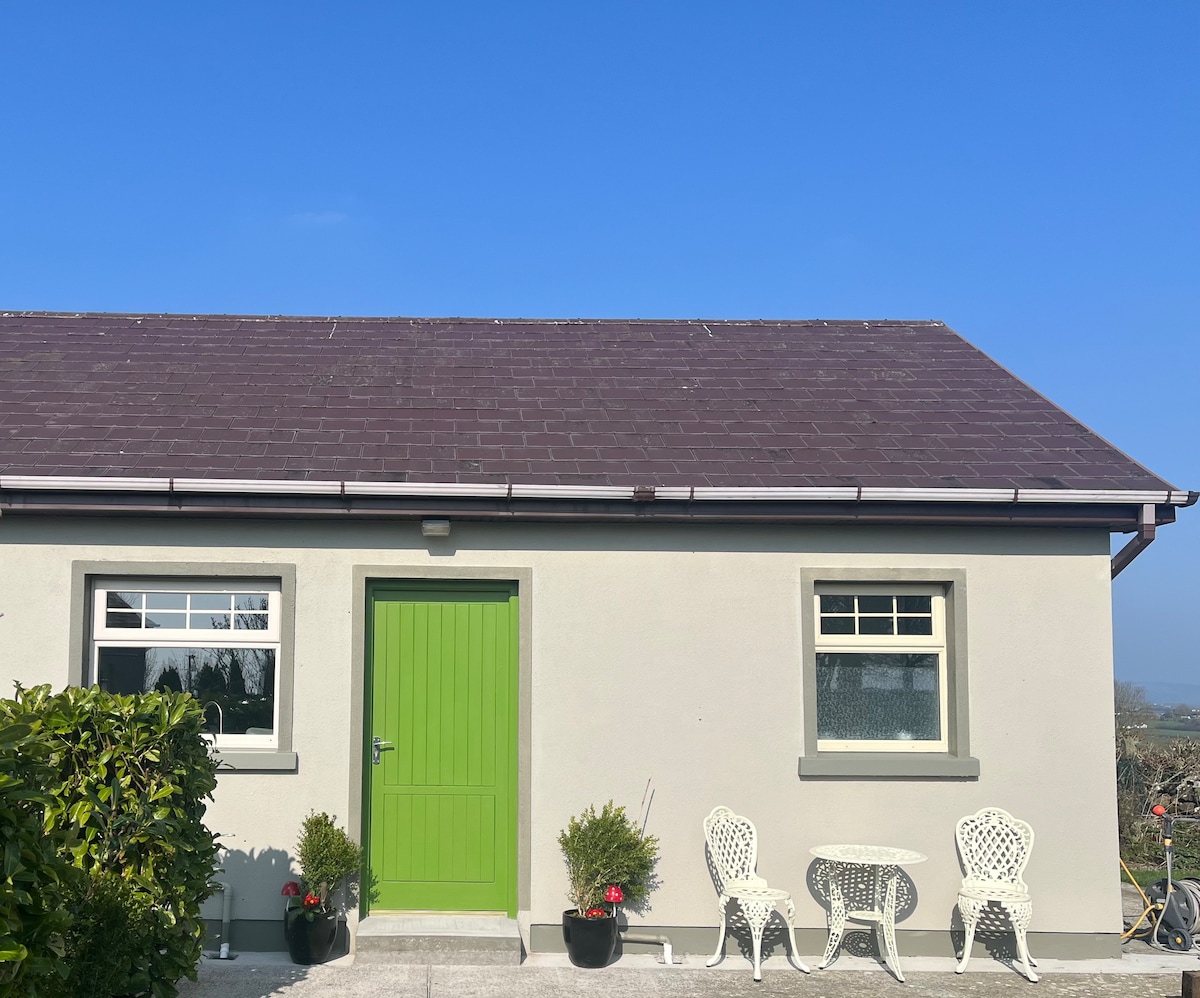 Enclosure in BallygeelEnclosure · 363 yd
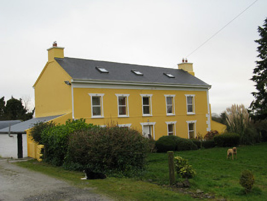 Camas Househouse · 1376 yd
 Moanleanna Househouse · 1604 yd
 Enclosure in BallymackesyEnclosure · 1.1 mi
 Templars Castle (in ruins)Castle, Anglo-Norman masonry castle · 2.2 mi
 Castle MahonCastle · 2.3 mi
 Saint Ite's WellSpring · 2.6 mi
 Ballagh MountainMountain / peak · 3.8 mi
 Limerick GreenwayWalking route · 4.4 mi
 Sugar HillMountain / peak · 4.9 mi
 TobereenalaffinaSpring · 5.1 mi
 European ashEuropean ash · 6.2 mi